facebook
twitter
google plus
Linkedin
youtube
Orders over $100 ship FREE
800-338-6228
All Categories
alaska
Alaska (232)
alaska
Atlantic (255)
alaska
Great Lakes (134)
alaska
Gulf (160)
alaska
Pacific (213)
Search
$
0.00
0
Home
Shop for nautical charts
Customer Login
Show Cart
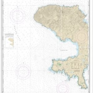
Port Moller and Herendeen Bay (chart 16363)
Home
Shop for nautical charts
Products
Port Moller and Herendeen Bay (chart 16363)
Home
/
Shop for nautical charts
/
Alaska
/ Port Moller and Herendeen Bay (chart 16363)
Port Moller and Herendeen Bay (chart 16363)
$
21.00
Nautical chart scale
: 1:80,000
$
Quantity
Add to cart
Chart ID:
16363
Category:
Alaska
Description
Additional information
Description
View this chart on the NOAA Chart viewer
Additional information
Weight
32 oz
Dimensions
42 × 4 × 4 in
Related products
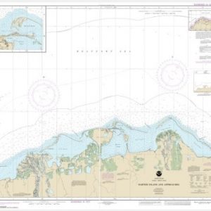
Andrenof. Islands Tanga Bay and approaches (chart 16462)
$
21.00
Select options
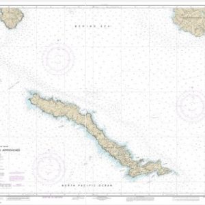
Barter Island and approaches;Bernard Harbor (chart 16043)
$
21.00
Select options
Amchitka Island and Approaches (Metric) (chart 16450)
$
21.00
Select options
facebook
twitter
google plus
Linkedin
youtube