facebook
twitter
google plus
Linkedin
youtube
Orders over $100 ship FREE
800-338-6228
All Categories
alaska
Alaska (42)
alaska
Atlantic (21)
alaska
Great Lakes (24)
alaska
Gulf (33)
alaska
Pacific (130)
Search
$
21.00
1
Home
Shop for nautical charts
Customer Login
Show Cart
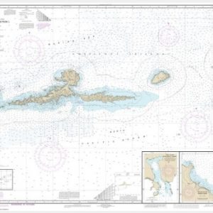
Unga Island to Pavlof Bay, Alaska Pen. (chart 16551)
Home
Shop for nautical charts
Products
Unga Island to Pavlof Bay, Alaska Pen. (chart 16551)
Home
/
Shop for nautical charts
/
Alaska
/ Unga Island to Pavlof Bay, Alaska Pen. (chart 16551)
View cart
“Cook Inlet-northern part (chart 16660)” has been added to your cart.
Unga Island to Pavlof Bay, Alaska Pen. (chart 16551)
$
21.00
Nautical chart scale:
1:80,000
$
Paper Options
*
36 lb. JCP E-50 Chart Paper [+$5.00]
24 lb. JCP E-20 High Wet Strength Paper
Quantity
Add to cart
Chart ID:
16551
Category:
Alaska
Description
Additional information
Description
View this chart on the NOAA Chart viewer
Additional information
Weight
32 oz
Dimensions
42 × 4 × 4 in
Related products
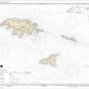
Amkta Island to Igitkin Island;Finch Cove Seguam Island;Sviechnikof Harbor, Amilia Island (chart 16480)
$
21.00
Select options
Ingenstrem Rocks to Attu Island (chart 16421)
$
21.00
Select options
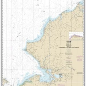
Cape Prince of Wales to Pt. Barrow (chart 16005)
$
21.00
Select options
facebook
twitter
google plus
Linkedin
youtube