• facebook
  • twitter
  • google plus
  • Linkedin
  • youtube
Orders over $100 ship FREE 800-338-6228
NOAA Charts
$0.00 0
  • Home
  • Shop for nautical charts
  • Customer Login
  • Show Cart

Category: Alaska

  • Home
  • Shop for nautical charts
  • Products
  • Alaska
  • Page 12
Home / Shop for nautical charts / Alaska / Page 12

Alaska

Showing 133–144 of 233 results

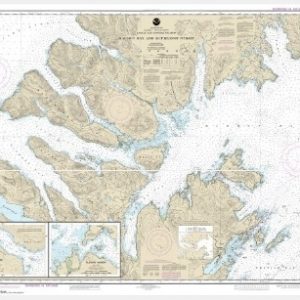
  • Marmot Bay and Kupreanof Strait;Whale Passage;Ouzinkie Harbor (chart 16594)

    $21.00
    Select options
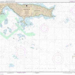
  • Massacre Bay (chart 16432)

    $21.00
    Select options
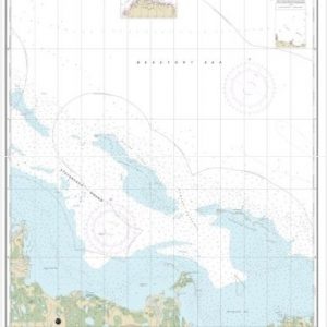
  • McClure and Stockton Islands and vicinity (chart 16046)

    $21.00
    Select options
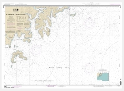
  • Mitrofania Bay And Kuiukta Bay (chart 16561)

    $21.00
    Select options
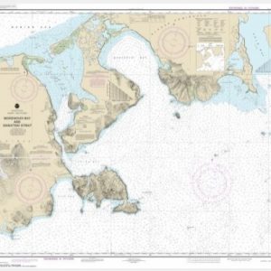
  • Morzhovoi Bay and Isanotski Strait (chart 16535)

    $21.00
    Select options
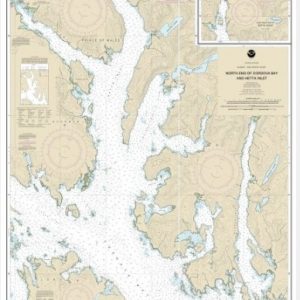
  • N. end of Cordova Bay and Hetta Inlet (chart 17431)

    $21.00
    Select options
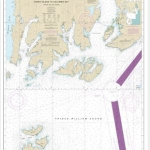
  • Naked Island to Columbia Bay (chart 16713)

    $21.00
    Select options
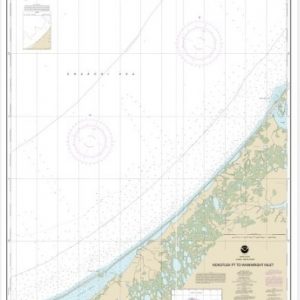
  • Nakotlek Pt. to Wainwright (chart 16086)

    $21.00
    Select options
  • Nazan Bay and Amilia Pass (chart 16490)

    $21.00
    Select options
  • Near Islands Buldir Island to Attu Island (chart 16420)

    $21.00
    Select options
  • Nome Hbr. and approaches, Norton Sound;Nome Harbor (chart 16206)

    $21.00
    Select options
  • North America West Coast San Diego to Aleutian Islands and Hawai

    $21.00
    Select options
  • ←
  • 1
  • 2
  • 3
  • …
  • 9
  • 10
  • 11
  • 12
  • 13
  • 14
  • 15
  • …
  • 18
  • 19
  • 20
  • →

Chartside Map Locators

Looking for a specific nautical chart?

Download these helpful chartside indexes to find the chart you're looking for quickly.

Regions

  • Alaska
  • Atlantic
  • Pacific
  • Great Lakes
  • Gulf

(all chartside files are PDF format and are very large, be patient during download on slow connections)

Contact Us

Feel free to contact us if you have any questions.

  • 8119 Central Ave.
    Capitol Heights, MD 20743
  • HBudd@whmap.com
  • 301-336-1143
  • 800-338-6228
  • 301-336-5520
  • http://whmap.com/

Map Production

We have the staff, software and equipment to handle all aspects of cartography and map production. Our large library of software titles can accommodate the processing and editing of any customer-provided final files.

We are also able to create new maps by utilizing files output from a GIS environment, integrating such data with accompanying text and graphics (photographs, logos, street indexes, tables, etc.) into a clean, publication-quality layout.

Long Term

Williams & Heintz Map Corporation has been printing maps for entrepreneurs, government agencies, and map publishers for over 93 years. We combine the highest quality pre-press, printing, and folding with industry leading knowledge and customer service.

Sustainable

Williams & Heintz understands the importance of building and maintaining a cleaner environment and aims to contribute in as many ways possible throughout our map production and printing cycle.

We are continuously improving elements in our map making and printing process to produce the same high quality custom maps with far less negative impact on the environment.

Versatile

At Williams & Heintz, we can assist you with any aspect of map production and manufacturing, from the simplest 1-color map to the most complicated 12-color map, from 3″ x 5″ to 47 ¼ ” x 63″. Send us your digital files, or films and camera copy.

We welcome your difficult reproduction problems and complex technical maps as well as simpler jobs. All will get the same care and attention to detail that maps require, at a competitive price.

  • facebook
  • twitter
  • google plus
  • Linkedin
  • youtube
© 2022 Williams & Heintz Map Corporation. All Rights Reserved.

Web Design by Solnet