• facebook
  • twitter
  • google plus
  • Linkedin
  • youtube
Orders over $100 ship FREE 800-338-6228
NOAA Charts
$0.00 0
  • Home
  • Shop for nautical charts
  • Customer Login
  • Show Cart

Category: Alaska

  • Home
  • Shop for nautical charts
  • Products
  • Alaska
  • Page 14
Home / Shop for nautical charts / Alaska / Page 14

Alaska

Showing 157–168 of 233 results

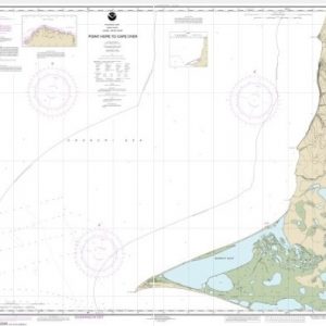
  • Point Hope to Cape Dyer (chart 16123)

    $21.00
    Select options
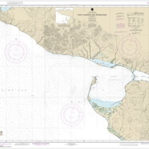
  • Port Clarence and approaches (chart 16204)

    $21.00
    Select options
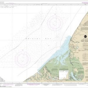
  • Port Heiden (chart 16343)

    $21.00
    Select options
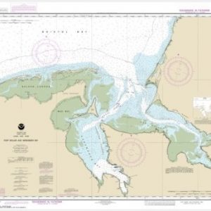
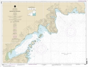
  • Port Moller and Herendeen Bay (chart 16363)

    $21.00
    Select options
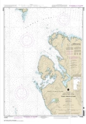
  • Port Protection, Prince of Wales Island (chart 17378)

    $21.00
    Select options
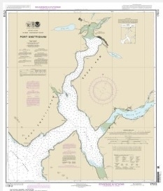
  • Port Snettisham (chart 17313)

    $21.00
    Select options
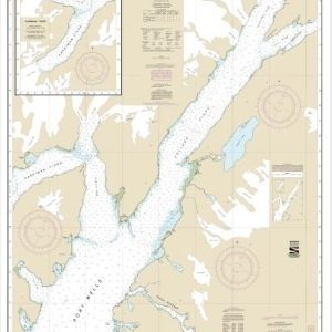
  • Port Wells, including College Fiord and Harriman Fiord (chart 16711)

    $21.00
    Select options
  • Portage and Wide Bays, Alaska Pen. (chart 16570)

    $21.00
    Select options
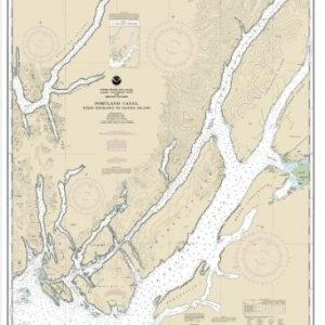
  • Portland Canal – Dixon Entrance to Hattie I. (chart 17427)

    $21.00
    Select options
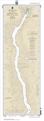
  • Portland Canal-North of Hattie Island (chart 17425)

    $21.00
    Select options
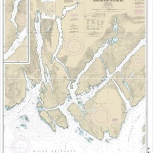
  • Portland Inlet to Nakat Bay (chart 17437)

    $21.00
    Select options
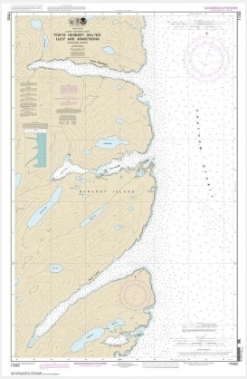
  • Ports Herbert, Walter, Lucy and Armstrong (chart 17333)

    $21.00
    Select options
  • ←
  • 1
  • 2
  • 3
  • …
  • 11
  • 12
  • 13
  • 14
  • 15
  • 16
  • 17
  • 18
  • 19
  • 20
  • →

Chartside Map Locators

Looking for a specific nautical chart?

Download these helpful chartside indexes to find the chart you're looking for quickly.

Regions

  • Alaska
  • Atlantic
  • Pacific
  • Great Lakes
  • Gulf

(all chartside files are PDF format and are very large, be patient during download on slow connections)

Contact Us

Feel free to contact us if you have any questions.

  • 8119 Central Ave.
    Capitol Heights, MD 20743
  • HBudd@whmap.com
  • 301-336-1143
  • 800-338-6228
  • 301-336-5520
  • http://whmap.com/

Map Production

We have the staff, software and equipment to handle all aspects of cartography and map production. Our large library of software titles can accommodate the processing and editing of any customer-provided final files.

We are also able to create new maps by utilizing files output from a GIS environment, integrating such data with accompanying text and graphics (photographs, logos, street indexes, tables, etc.) into a clean, publication-quality layout.

Long Term

Williams & Heintz Map Corporation has been printing maps for entrepreneurs, government agencies, and map publishers for over 93 years. We combine the highest quality pre-press, printing, and folding with industry leading knowledge and customer service.

Sustainable

Williams & Heintz understands the importance of building and maintaining a cleaner environment and aims to contribute in as many ways possible throughout our map production and printing cycle.

We are continuously improving elements in our map making and printing process to produce the same high quality custom maps with far less negative impact on the environment.

Versatile

At Williams & Heintz, we can assist you with any aspect of map production and manufacturing, from the simplest 1-color map to the most complicated 12-color map, from 3″ x 5″ to 47 ¼ ” x 63″. Send us your digital files, or films and camera copy.

We welcome your difficult reproduction problems and complex technical maps as well as simpler jobs. All will get the same care and attention to detail that maps require, at a competitive price.

  • facebook
  • twitter
  • google plus
  • Linkedin
  • youtube
© 2022 Williams & Heintz Map Corporation. All Rights Reserved.

Web Design by Solnet