• facebook
  • twitter
  • google plus
  • Linkedin
  • youtube
Orders over $100 ship FREE 800-338-6228
NOAA Charts
$0.00 0
  • Home
  • Shop for nautical charts
  • Customer Login
  • Show Cart

Category: Alaska

  • Home
  • Shop for nautical charts
  • Products
  • Alaska
  • Page 16
Home / Shop for nautical charts / Alaska / Page 16

Alaska

Showing 181–192 of 233 results

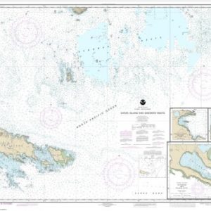
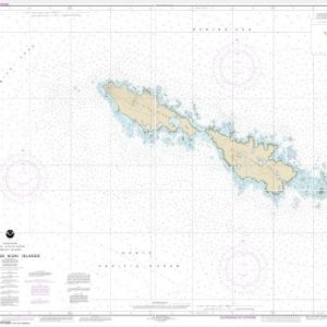
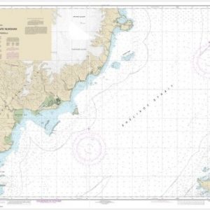
  • Sanak Island and Sandman Reefs;Northeast Harbor;Peterson and Salmon Bays;Sanak Harbor (chart 16547)

    $21.00
    Select options
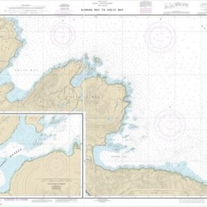
  • Sarana Bay to Holtz Bay;Chichagof Harbor (chart 16433)

    $21.00
    Select options
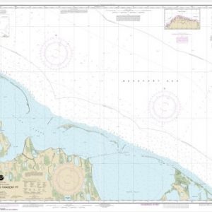
  • Scott Pt. to Tangent Pt. (chart 16081)

    $21.00
    Select options
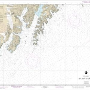
  • Seal Rocks to Gore Point (chart 16681)

    $21.00
    Select options
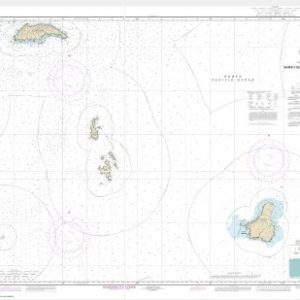
  • Semichi Islands Alaid and Nizki Islands (chart 16435)

    $21.00
    Select options
  • Semidi Islands and Vicinity (chart 16587)

    $21.00
    Select options
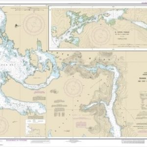
  • Shakan and Shipley Bays and Part of El Capitan Passage;El Capitan Pasage, Dry Pass to Shakan Strait (chart 17387)

    $21.00
    Select options
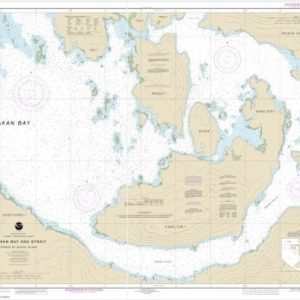
  • Shaken Bay And Strait, Alaska (chart 17379)

    $21.00
    Select options
  • Shelikof Strait-Cape Douglas to Cape Nukshak (chart 16608)

    $21.00
    Select options
  • Shelikof Strait-Cape Nukshak to Dakavak Bay (chart 16576)

    $21.00
    Select options
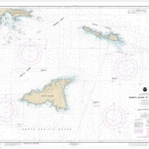
  • Shemya Island to Attu Island (Metric) (chart 16423)

    $21.00
    Select options
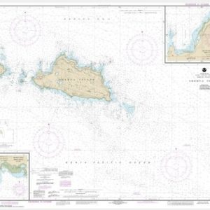
  • Shemya Island;Alcan Harbor;Skoot Cove (chart 16436)

    $21.00
    Select options
  • ←
  • 1
  • 2
  • 3
  • …
  • 13
  • 14
  • 15
  • 16
  • 17
  • 18
  • 19
  • 20
  • →

Chartside Map Locators

Looking for a specific nautical chart?

Download these helpful chartside indexes to find the chart you're looking for quickly.

Regions

  • Alaska
  • Atlantic
  • Pacific
  • Great Lakes
  • Gulf

(all chartside files are PDF format and are very large, be patient during download on slow connections)

Contact Us

Feel free to contact us if you have any questions.

  • 8119 Central Ave.
    Capitol Heights, MD 20743
  • HBudd@whmap.com
  • 301-336-1143
  • 800-338-6228
  • 301-336-5520
  • http://whmap.com/

Map Production

We have the staff, software and equipment to handle all aspects of cartography and map production. Our large library of software titles can accommodate the processing and editing of any customer-provided final files.

We are also able to create new maps by utilizing files output from a GIS environment, integrating such data with accompanying text and graphics (photographs, logos, street indexes, tables, etc.) into a clean, publication-quality layout.

Long Term

Williams & Heintz Map Corporation has been printing maps for entrepreneurs, government agencies, and map publishers for over 93 years. We combine the highest quality pre-press, printing, and folding with industry leading knowledge and customer service.

Sustainable

Williams & Heintz understands the importance of building and maintaining a cleaner environment and aims to contribute in as many ways possible throughout our map production and printing cycle.

We are continuously improving elements in our map making and printing process to produce the same high quality custom maps with far less negative impact on the environment.

Versatile

At Williams & Heintz, we can assist you with any aspect of map production and manufacturing, from the simplest 1-color map to the most complicated 12-color map, from 3″ x 5″ to 47 ¼ ” x 63″. Send us your digital files, or films and camera copy.

We welcome your difficult reproduction problems and complex technical maps as well as simpler jobs. All will get the same care and attention to detail that maps require, at a competitive price.

  • facebook
  • twitter
  • google plus
  • Linkedin
  • youtube
© 2022 Williams & Heintz Map Corporation. All Rights Reserved.

Web Design by Solnet