• facebook
  • twitter
  • google plus
  • Linkedin
  • youtube
Orders over $100 ship FREE 800-338-6228
NOAA Charts
$0.00 0
  • Home
  • Shop for nautical charts
  • Customer Login
  • Show Cart

Category: Alaska

  • Home
  • Shop for nautical charts
  • Products
  • Alaska
  • Page 18
Home / Shop for nautical charts / Alaska / Page 18

Alaska

Showing 205–216 of 233 results

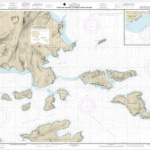
  • Tagalak Island to Great Sitkin Island;Sand Bay-Northeast Cove (chart 16478)

    $21.00
    Select options
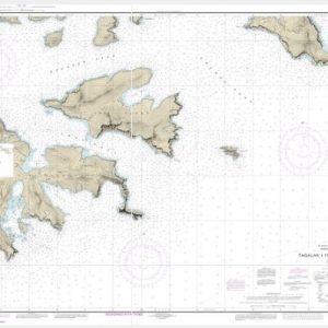
  • Tagalak Island to Little Tanaga l. (chart 16477)

    $21.00
    Select options
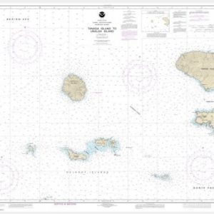
  • Tanaga Island to Unalga Island (Metric) (chart 16465)

    $21.00
    Select options
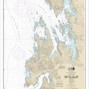
  • Tebenkof Bay and Port Malmesbury (chart 17376)

    $21.00
    Select options
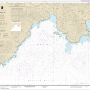
  • Temnac Bay (chart 16431)

    $21.00
    Select options
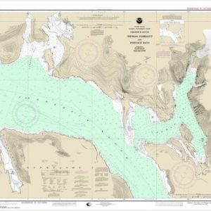
  • Thomas, Farragut, and Portage Bays, Frederick Sound (chart 17367)

    $21.00
    Select options
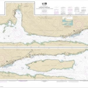
  • Tongass Narrows (chart 17430)

    $21.00
    Select options
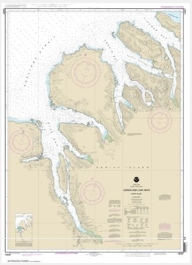
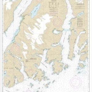
  • Uganik and Uyak Bays (chart 16597)

    $21.00
    Select options
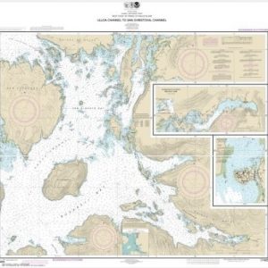
  • Ulloa Channel to San Christoval Channel;North Entrance, Big Salt Lake;Shelter Cove, Craig (chart 17405)

    $21.00
    Select options
  • Unakwik Inlet to Esther Passage and College Fiord (chart 16712)

    $21.00
    Select options
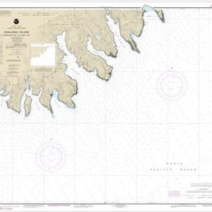
  • Unalaska Bay and Akutan Pass (chart 16528)

    $21.00
    Select options
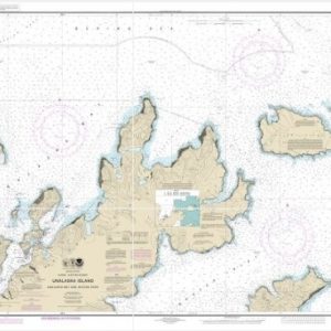
  • Unalaska Island Protection Bay to Eagle Bay (chart 16521)

    $21.00
    Select options
  • ←
  • 1
  • 2
  • 3
  • …
  • 15
  • 16
  • 17
  • 18
  • 19
  • 20
  • →

Chartside Map Locators

Looking for a specific nautical chart?

Download these helpful chartside indexes to find the chart you're looking for quickly.

Regions

  • Alaska
  • Atlantic
  • Pacific
  • Great Lakes
  • Gulf

(all chartside files are PDF format and are very large, be patient during download on slow connections)

Contact Us

Feel free to contact us if you have any questions.

  • 8119 Central Ave.
    Capitol Heights, MD 20743
  • HBudd@whmap.com
  • 301-336-1143
  • 800-338-6228
  • 301-336-5520
  • http://whmap.com/

Map Production

We have the staff, software and equipment to handle all aspects of cartography and map production. Our large library of software titles can accommodate the processing and editing of any customer-provided final files.

We are also able to create new maps by utilizing files output from a GIS environment, integrating such data with accompanying text and graphics (photographs, logos, street indexes, tables, etc.) into a clean, publication-quality layout.

Long Term

Williams & Heintz Map Corporation has been printing maps for entrepreneurs, government agencies, and map publishers for over 93 years. We combine the highest quality pre-press, printing, and folding with industry leading knowledge and customer service.

Sustainable

Williams & Heintz understands the importance of building and maintaining a cleaner environment and aims to contribute in as many ways possible throughout our map production and printing cycle.

We are continuously improving elements in our map making and printing process to produce the same high quality custom maps with far less negative impact on the environment.

Versatile

At Williams & Heintz, we can assist you with any aspect of map production and manufacturing, from the simplest 1-color map to the most complicated 12-color map, from 3″ x 5″ to 47 ¼ ” x 63″. Send us your digital files, or films and camera copy.

We welcome your difficult reproduction problems and complex technical maps as well as simpler jobs. All will get the same care and attention to detail that maps require, at a competitive price.

  • facebook
  • twitter
  • google plus
  • Linkedin
  • youtube
© 2022 Williams & Heintz Map Corporation. All Rights Reserved.

Web Design by Solnet