• facebook
  • twitter
  • google plus
  • Linkedin
  • youtube
Orders over $100 ship FREE 800-338-6228
NOAA Charts
$0.00 0
  • Home
  • Shop for nautical charts
  • Customer Login
  • Show Cart

Category: Alaska

  • Home
  • Shop for nautical charts
  • Products
  • Alaska
  • Page 19
Home / Shop for nautical charts / Alaska / Page 19

Alaska

Showing 217–228 of 233 results

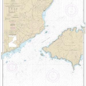
  • Unalaska Island Umnak Pass and approaches (chart 16513)

    $21.00
    Select options
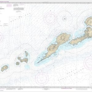
  • Unalaska l. to Amukta l. (chart 16500)

    $21.00
    Select options
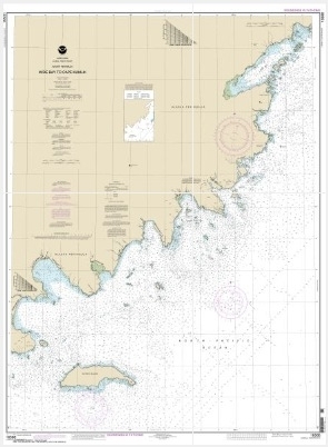
  • Unga Island to Pavlof Bay, Alaska Pen. (chart 16551)

    $21.00
    Select options
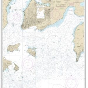
  • Unimak and Akutan Passes and approaches;Amak Island (chart 16520)

    $21.00
    Select options
  • Utukok Pass to Blossom Shoals (chart 16088)

    $21.00
    Select options
  • Wainwright Inlet to Atainik (chart 16085)

    $21.00
    Select options
  • West Coast of Baranof Island Cape Ommaney to Byron Bay (chart 17330)

    $21.00
    Select options
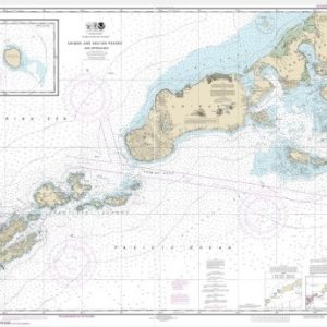
  • West Coast Of North America Dixon Ent To Unimak Pass (chart 500)

    $21.00
    Select options
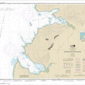
  • Whitewater Bay and Chaik Bay, Chatham Strait (chart 17341)

    $21.00
    Select options
  • Wide Bay to Cape Kumlik, Alaska Pen. (chart 16568)

    $21.00
    Select options
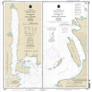
  • Woewodski and Eliza Hbrs.;Fanshaw Bay and Cleveland Passage (chart 17365)

    $21.00
    Select options
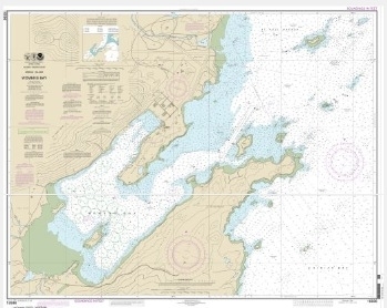
  • Womens Bay (chart 16596)

    $21.00
    Select options
  • ←
  • 1
  • 2
  • 3
  • …
  • 16
  • 17
  • 18
  • 19
  • 20
  • →

Chartside Map Locators

Looking for a specific nautical chart?

Download these helpful chartside indexes to find the chart you're looking for quickly.

Regions

  • Alaska
  • Atlantic
  • Pacific
  • Great Lakes
  • Gulf

(all chartside files are PDF format and are very large, be patient during download on slow connections)

Contact Us

Feel free to contact us if you have any questions.

  • 8119 Central Ave.
    Capitol Heights, MD 20743
  • HBudd@whmap.com
  • 301-336-1143
  • 800-338-6228
  • 301-336-5520
  • http://whmap.com/

Map Production

We have the staff, software and equipment to handle all aspects of cartography and map production. Our large library of software titles can accommodate the processing and editing of any customer-provided final files.

We are also able to create new maps by utilizing files output from a GIS environment, integrating such data with accompanying text and graphics (photographs, logos, street indexes, tables, etc.) into a clean, publication-quality layout.

Long Term

Williams & Heintz Map Corporation has been printing maps for entrepreneurs, government agencies, and map publishers for over 93 years. We combine the highest quality pre-press, printing, and folding with industry leading knowledge and customer service.

Sustainable

Williams & Heintz understands the importance of building and maintaining a cleaner environment and aims to contribute in as many ways possible throughout our map production and printing cycle.

We are continuously improving elements in our map making and printing process to produce the same high quality custom maps with far less negative impact on the environment.

Versatile

At Williams & Heintz, we can assist you with any aspect of map production and manufacturing, from the simplest 1-color map to the most complicated 12-color map, from 3″ x 5″ to 47 ¼ ” x 63″. Send us your digital files, or films and camera copy.

We welcome your difficult reproduction problems and complex technical maps as well as simpler jobs. All will get the same care and attention to detail that maps require, at a competitive price.

  • facebook
  • twitter
  • google plus
  • Linkedin
  • youtube
© 2022 Williams & Heintz Map Corporation. All Rights Reserved.

Web Design by Solnet