• facebook
  • twitter
  • google plus
  • Linkedin
  • youtube
Orders over $100 ship FREE 800-338-6228
NOAA Charts
$0.00 0
  • Home
  • Shop for nautical charts
  • Customer Login
  • Show Cart

Category: Alaska

  • Home
  • Shop for nautical charts
  • Products
  • Alaska
  • Page 2
Home / Shop for nautical charts / Alaska / Page 2

Alaska

Showing 13–24 of 233 results

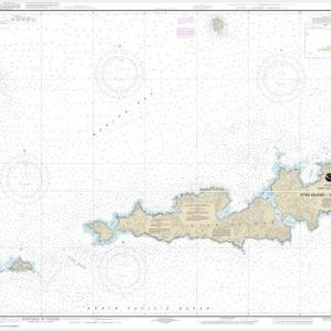
  • Atka Island to Chugul Island Atka Island (chart 16484)

    $21.00
    Select options
  • Atka Island, western part (chart 16486)

    $21.00
    Select options
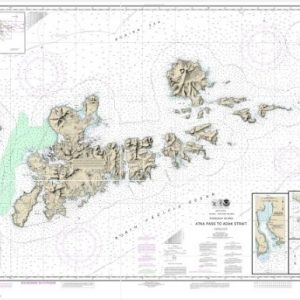
  • Atka Pass to Adak Strait;Three Arm Bay, Adak Island;Kanaga Bay, Kanaga Island;Chapel Roads and Chapel Cove, Adak Island (chart 16471)

    $21.00
    Select options
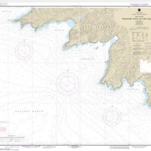
  • Attu Island Theodore Pt. to Cape Wrangell (chart 16430)

    $21.00
    Select options
  • Baker, Noyes, and LuluIslands and adjacent waters (chart 17406)

    $21.00
    Select options
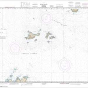
  • Barren Islands (chart 16606)

    $21.00
    Select options
  • Barter Island and approaches;Bernard Harbor (chart 16043)

    $21.00
    Select options
  • Bay of Islands;Aranne Channel;Hell Gate (chart 16474)

    $21.00
    Select options
  • Bay of Pillars and Rowan Bay, Chatham Strait;Washington Bay, Chatham Strait (chart 17370)

    $21.00
    Select options
  • Bays and Anchorages, Kodiak Island Karluk Anchorage;Larsen Bay;Uyak Anchorage (chart 16599)

    $21.00
    Select options
  • Beaver Inlet (chart 16522)

    $21.00
    Select options
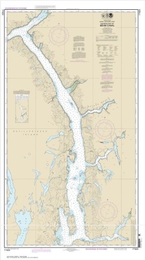
  • Behm Canal-eastern part (chart 17424)

    $21.00
    Select options
  • ←
  • 1
  • 2
  • 3
  • 4
  • 5
  • …
  • 18
  • 19
  • 20
  • →

Chartside Map Locators

Looking for a specific nautical chart?

Download these helpful chartside indexes to find the chart you're looking for quickly.

Regions

  • Alaska
  • Atlantic
  • Pacific
  • Great Lakes
  • Gulf

(all chartside files are PDF format and are very large, be patient during download on slow connections)

Contact Us

Feel free to contact us if you have any questions.

  • 8119 Central Ave.
    Capitol Heights, MD 20743
  • HBudd@whmap.com
  • 301-336-1143
  • 800-338-6228
  • 301-336-5520
  • http://whmap.com/

Map Production

We have the staff, software and equipment to handle all aspects of cartography and map production. Our large library of software titles can accommodate the processing and editing of any customer-provided final files.

We are also able to create new maps by utilizing files output from a GIS environment, integrating such data with accompanying text and graphics (photographs, logos, street indexes, tables, etc.) into a clean, publication-quality layout.

Long Term

Williams & Heintz Map Corporation has been printing maps for entrepreneurs, government agencies, and map publishers for over 93 years. We combine the highest quality pre-press, printing, and folding with industry leading knowledge and customer service.

Sustainable

Williams & Heintz understands the importance of building and maintaining a cleaner environment and aims to contribute in as many ways possible throughout our map production and printing cycle.

We are continuously improving elements in our map making and printing process to produce the same high quality custom maps with far less negative impact on the environment.

Versatile

At Williams & Heintz, we can assist you with any aspect of map production and manufacturing, from the simplest 1-color map to the most complicated 12-color map, from 3″ x 5″ to 47 ¼ ” x 63″. Send us your digital files, or films and camera copy.

We welcome your difficult reproduction problems and complex technical maps as well as simpler jobs. All will get the same care and attention to detail that maps require, at a competitive price.

  • facebook
  • twitter
  • google plus
  • Linkedin
  • youtube
© 2022 Williams & Heintz Map Corporation. All Rights Reserved.

Web Design by Solnet