• facebook
  • twitter
  • google plus
  • Linkedin
  • youtube
Orders over $100 ship FREE 800-338-6228
NOAA Charts
$0.00 0
  • Home
  • Shop for nautical charts
  • Customer Login
  • Show Cart

Category: Alaska

  • Home
  • Shop for nautical charts
  • Products
  • Alaska
  • Page 4
Home / Shop for nautical charts / Alaska / Page 4

Alaska

Showing 37–48 of 233 results

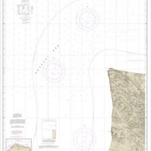
  • Cape Dyer to Cape Lisburge (chart 16122)

    $21.00
    Select options
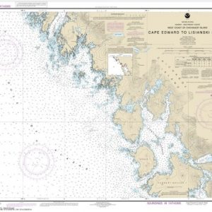
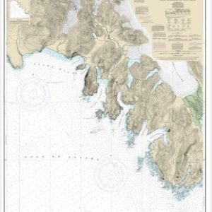
  • Cape Edward to Lisianski Strait, Chichagof Island (chart 17321)

    $21.00
    Select options
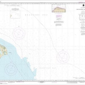
  • Cape Halkett and vicinity (chart 16065)

    $21.00
    Select options
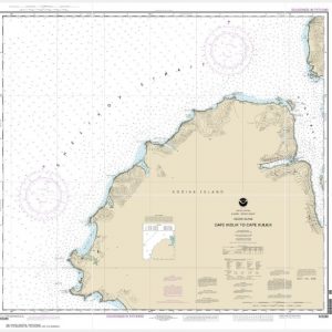
  • Cape Ikolik to Cape Kuliuk (chart 16598)

    $21.00
    Select options
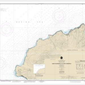
  • Cape Kavrizhka to Cape Cheerful (chart 16518)

    $21.00
    Select options
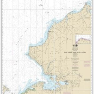
  • Cape Prince of Wales to Pt. Barrow (chart 16005)

    $21.00
    Select options
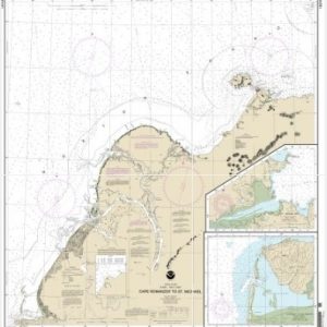
  • Cape Ramonzof to St. Michael;St. Michael Bay;Approaches to Cape Ramanzof (chart 16240)

    $21.00
    Select options
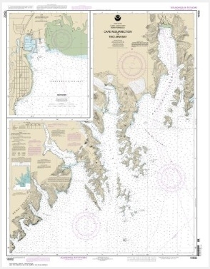
  • Cape Resurrection to Two Arm Bay;Seaward (chart 16682)

    $21.00
    Select options
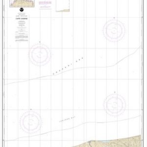
  • Cape Sabine (chart 16104)

    $21.00
    Select options
  • Cape Spencer to Icy Point (chart 17301)

    $21.00
    Select options
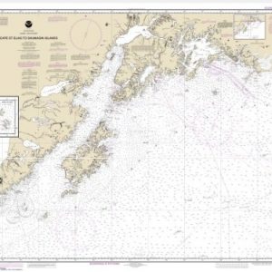
  • Cape St. Elias to Shumagin Islands;Semidi Islands (chart 16013)

    $21.00
    Select options
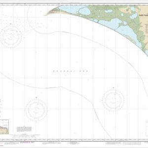
  • Cape Thompson to Point Hope (chart 16124)

    $21.00
    Select options
  • ←
  • 1
  • 2
  • 3
  • 4
  • 5
  • 6
  • 7
  • …
  • 18
  • 19
  • 20
  • →

Chartside Map Locators

Looking for a specific nautical chart?

Download these helpful chartside indexes to find the chart you're looking for quickly.

Regions

  • Alaska
  • Atlantic
  • Pacific
  • Great Lakes
  • Gulf

(all chartside files are PDF format and are very large, be patient during download on slow connections)

Contact Us

Feel free to contact us if you have any questions.

  • 8119 Central Ave.
    Capitol Heights, MD 20743
  • HBudd@whmap.com
  • 301-336-1143
  • 800-338-6228
  • 301-336-5520
  • http://whmap.com/

Map Production

We have the staff, software and equipment to handle all aspects of cartography and map production. Our large library of software titles can accommodate the processing and editing of any customer-provided final files.

We are also able to create new maps by utilizing files output from a GIS environment, integrating such data with accompanying text and graphics (photographs, logos, street indexes, tables, etc.) into a clean, publication-quality layout.

Long Term

Williams & Heintz Map Corporation has been printing maps for entrepreneurs, government agencies, and map publishers for over 93 years. We combine the highest quality pre-press, printing, and folding with industry leading knowledge and customer service.

Sustainable

Williams & Heintz understands the importance of building and maintaining a cleaner environment and aims to contribute in as many ways possible throughout our map production and printing cycle.

We are continuously improving elements in our map making and printing process to produce the same high quality custom maps with far less negative impact on the environment.

Versatile

At Williams & Heintz, we can assist you with any aspect of map production and manufacturing, from the simplest 1-color map to the most complicated 12-color map, from 3″ x 5″ to 47 ¼ ” x 63″. Send us your digital files, or films and camera copy.

We welcome your difficult reproduction problems and complex technical maps as well as simpler jobs. All will get the same care and attention to detail that maps require, at a competitive price.

  • facebook
  • twitter
  • google plus
  • Linkedin
  • youtube
© 2022 Williams & Heintz Map Corporation. All Rights Reserved.

Web Design by Solnet