• facebook
  • twitter
  • google plus
  • Linkedin
  • youtube
Orders over $100 ship FREE 800-338-6228
NOAA Charts
$0.00 0
  • Home
  • Shop for nautical charts
  • Customer Login
  • Show Cart

Category: Alaska

  • Home
  • Shop for nautical charts
  • Products
  • Alaska
  • Page 6
Home / Shop for nautical charts / Alaska / Page 6

Alaska

Showing 61–72 of 233 results

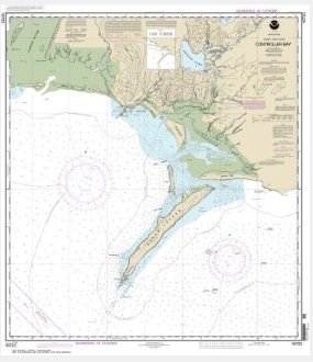
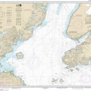
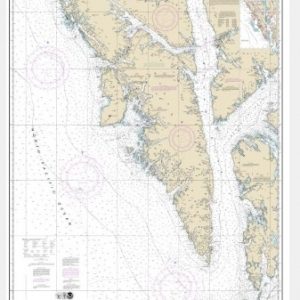
  • Controller Bay (chart 16723)

    $21.00
    Select options
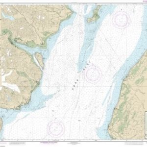
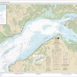
  • Cook Inlet-Anchor Point to Kalgin Island;Ninilchik Harbor (chart 16661)

    $21.00
    Select options
  • Cook Inlet-Approaches to Anchorage;Anchorage (chart 16665)

    $21.00
    Select options
  • Cook Inlet-Cape Elizabeth to Anchor Point (chart 16647)

    $21.00
    Select options
  • Cook Inlet-East Foreland to Anchorage;North Foreland (chart 16663)

    $21.00
    Select options
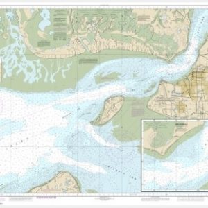
  • Cook Inlet-Kalgin Island to North Foreland;Drift River;Kasilof R. to Kenai R.;Rikiski (chart 16662)

    $21.00
    Select options
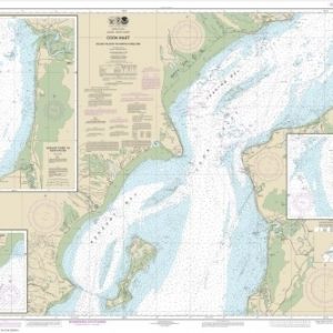
  • Cook Inlet-northern part (chart 16660)

    $21.00
    Add to cart
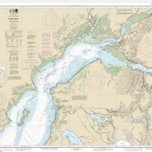
  • Cook Inlet-southern part (chart 16640)

    $21.00
    Add to cart
  • Coronation Island to Lisianski Strait (chart 17320)

    $21.00
    Select options
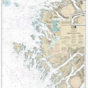
  • Crawfish Inlet to Sitka, Baranof I.;Sawmill Cove (chart 17326)

    $21.00
    Select options
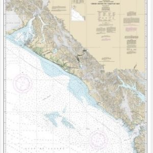
  • Cross Sound to Yakutat Bay (chart 16760)

    $21.00
    Select options
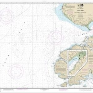
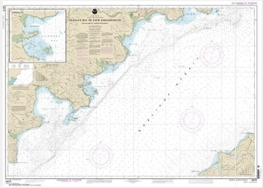
  • Dakavak Bay to Cape Unalishagvak;Alinchak Bay (chart 16575)

    $21.00
    Select options
  • ←
  • 1
  • 2
  • 3
  • 4
  • 5
  • 6
  • 7
  • 8
  • 9
  • …
  • 18
  • 19
  • 20
  • →

Chartside Map Locators

Looking for a specific nautical chart?

Download these helpful chartside indexes to find the chart you're looking for quickly.

Regions

  • Alaska
  • Atlantic
  • Pacific
  • Great Lakes
  • Gulf

(all chartside files are PDF format and are very large, be patient during download on slow connections)

Contact Us

Feel free to contact us if you have any questions.

  • 8119 Central Ave.
    Capitol Heights, MD 20743
  • HBudd@whmap.com
  • 301-336-1143
  • 800-338-6228
  • 301-336-5520
  • http://whmap.com/

Map Production

We have the staff, software and equipment to handle all aspects of cartography and map production. Our large library of software titles can accommodate the processing and editing of any customer-provided final files.

We are also able to create new maps by utilizing files output from a GIS environment, integrating such data with accompanying text and graphics (photographs, logos, street indexes, tables, etc.) into a clean, publication-quality layout.

Long Term

Williams & Heintz Map Corporation has been printing maps for entrepreneurs, government agencies, and map publishers for over 93 years. We combine the highest quality pre-press, printing, and folding with industry leading knowledge and customer service.

Sustainable

Williams & Heintz understands the importance of building and maintaining a cleaner environment and aims to contribute in as many ways possible throughout our map production and printing cycle.

We are continuously improving elements in our map making and printing process to produce the same high quality custom maps with far less negative impact on the environment.

Versatile

At Williams & Heintz, we can assist you with any aspect of map production and manufacturing, from the simplest 1-color map to the most complicated 12-color map, from 3″ x 5″ to 47 ¼ ” x 63″. Send us your digital files, or films and camera copy.

We welcome your difficult reproduction problems and complex technical maps as well as simpler jobs. All will get the same care and attention to detail that maps require, at a competitive price.

  • facebook
  • twitter
  • google plus
  • Linkedin
  • youtube
© 2022 Williams & Heintz Map Corporation. All Rights Reserved.

Web Design by Solnet