• facebook
  • twitter
  • google plus
  • Linkedin
  • youtube
Orders over $100 ship FREE 800-338-6228
NOAA Charts
$0.00 0
  • Home
  • Shop for nautical charts
  • Customer Login
  • Show Cart

Category: Alaska

  • Home
  • Shop for nautical charts
  • Products
  • Alaska
  • Page 8
Home / Shop for nautical charts / Alaska / Page 8

Alaska

Showing 85–96 of 233 results

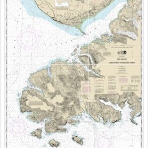
  • Gore Point to Anchor Point (chart 16645)

    $21.00
    Select options
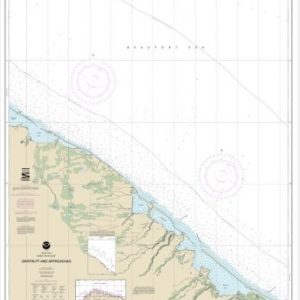
  • Griffin Pt. and approaches (chart 16042)

    $21.00
    Select options
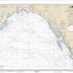
  • Gulf of Alaska Strait of Juan de Fuca to Kodiak Island (chart 531)

    $21.00
    Select options
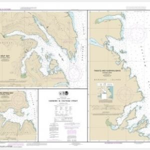
  • Harbors in Chatham Strait Kelp Bay;Warm Spring Bay;Takatz and Kasnyku Bays (chart 17337)

    $21.00
    Select options
  • Harbors in Clarence Strait Port Chester, Annette Island;Tamgas Harbor, Annette Island;Metlakatla Harbor (chart 17435)

    $21.00
    Select options
  • Harrison Bay-eastern part (chart 16063)

    $21.00
    Select options
  • Harrison Bay-western part (chart 16064)

    $21.00
    Select options
  • Hawk Inlet, Charham Strait (chart 17312)

    $21.00
    Select options
  • Hecate Strait to Etolin Island, including Behm and Portland Canals (chart 17420)

    $21.00
    Select options
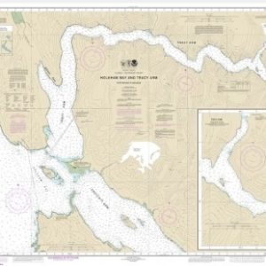
  • Holkham Bay And Tracy Arm – Stephens Passage (chart 17311)

    $21.00
    Select options
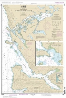
  • Hood Bay and Kootzmahoo Inlet, Chatham Strait;Killsnoo Harbor (chart 17339)

    $21.00
    Select options
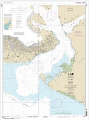
  • Icy Bay (chart 16741)

    $21.00
    Select options
  • ←
  • 1
  • 2
  • 3
  • …
  • 5
  • 6
  • 7
  • 8
  • 9
  • 10
  • 11
  • …
  • 18
  • 19
  • 20
  • →

Chartside Map Locators

Looking for a specific nautical chart?

Download these helpful chartside indexes to find the chart you're looking for quickly.

Regions

  • Alaska
  • Atlantic
  • Pacific
  • Great Lakes
  • Gulf

(all chartside files are PDF format and are very large, be patient during download on slow connections)

Contact Us

Feel free to contact us if you have any questions.

  • 8119 Central Ave.
    Capitol Heights, MD 20743
  • HBudd@whmap.com
  • 301-336-1143
  • 800-338-6228
  • 301-336-5520
  • http://whmap.com/

Map Production

We have the staff, software and equipment to handle all aspects of cartography and map production. Our large library of software titles can accommodate the processing and editing of any customer-provided final files.

We are also able to create new maps by utilizing files output from a GIS environment, integrating such data with accompanying text and graphics (photographs, logos, street indexes, tables, etc.) into a clean, publication-quality layout.

Long Term

Williams & Heintz Map Corporation has been printing maps for entrepreneurs, government agencies, and map publishers for over 93 years. We combine the highest quality pre-press, printing, and folding with industry leading knowledge and customer service.

Sustainable

Williams & Heintz understands the importance of building and maintaining a cleaner environment and aims to contribute in as many ways possible throughout our map production and printing cycle.

We are continuously improving elements in our map making and printing process to produce the same high quality custom maps with far less negative impact on the environment.

Versatile

At Williams & Heintz, we can assist you with any aspect of map production and manufacturing, from the simplest 1-color map to the most complicated 12-color map, from 3″ x 5″ to 47 ¼ ” x 63″. Send us your digital files, or films and camera copy.

We welcome your difficult reproduction problems and complex technical maps as well as simpler jobs. All will get the same care and attention to detail that maps require, at a competitive price.

  • facebook
  • twitter
  • google plus
  • Linkedin
  • youtube
© 2022 Williams & Heintz Map Corporation. All Rights Reserved.

Web Design by Solnet