• facebook
  • twitter
  • google plus
  • Linkedin
  • youtube
Orders over $100 ship FREE 800-338-6228
NOAA Charts
$0.00 0
  • Home
  • Shop for nautical charts
  • Customer Login
  • Show Cart

Category: Atlantic

  • Home
  • Shop for nautical charts
  • Products
  • Atlantic
  • Page 16
Home / Shop for nautical charts / Atlantic / Page 16

Atlantic

Showing 181–192 of 256 results

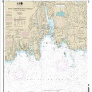
  • North Shore of Long Island Sound Niantic Bay and Vicinity (chart 13211)

    $21.00
    Select options
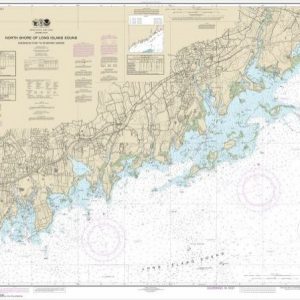
  • North Shore of Long Island Sound Sherwood Point to Stamford Harbor (chart 12368)

    $21.00
    Select options
  • North Shore of Long Island Sound Stratford to Sherwood Point (chart 12369)

    $21.00
    Select options
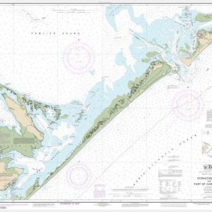
  • Ocracoke lnlet and Part of Core Sound (chart 11550)

    $21.00
    Select options
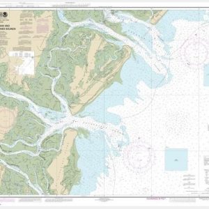
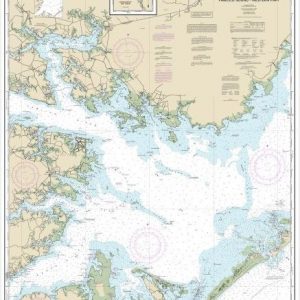
  • Ossabaw and St. Catherines Sounds (chart 11511)

    $21.00
    Select options
  • Pamlico River (chart 11554)

    $21.00
    Select options
  • Pamlico Sound Western Part (chart 11548)

    $21.00
    Select options
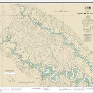
  • Pamunkey And Mattaponi Rivers (chart 12244)

    $21.00
    Select options
  • Parts of Coosaw and Broad Rivers (chart 11519)

    $21.00
    Select options
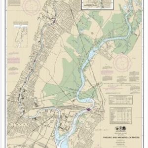
  • Passaic and Hackensack Rivers (chart 12337)

    $21.00
    Select options
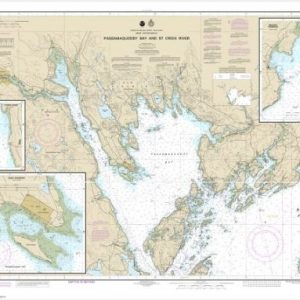
  • Passamaquoddy Bay and St. Croix River (Metric);Beaver Harbor;Saint Andrews;Todds Point (chart 13398)

    $21.00
    Select options
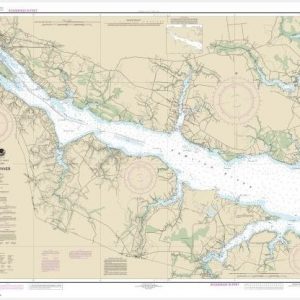
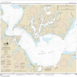
  • Patuxent River Solomons lsland and Vicinity (chart 12284)

    $21.00
    Select options
  • ←
  • 1
  • 2
  • 3
  • …
  • 13
  • 14
  • 15
  • 16
  • 17
  • 18
  • 19
  • 20
  • 21
  • 22
  • →

Chartside Map Locators

Looking for a specific nautical chart?

Download these helpful chartside indexes to find the chart you're looking for quickly.

Regions

  • Alaska
  • Atlantic
  • Pacific
  • Great Lakes
  • Gulf

(all chartside files are PDF format and are very large, be patient during download on slow connections)

Contact Us

Feel free to contact us if you have any questions.

  • 8119 Central Ave.
    Capitol Heights, MD 20743
  • HBudd@whmap.com
  • 301-336-1143
  • 800-338-6228
  • 301-336-5520
  • http://whmap.com/

Map Production

We have the staff, software and equipment to handle all aspects of cartography and map production. Our large library of software titles can accommodate the processing and editing of any customer-provided final files.

We are also able to create new maps by utilizing files output from a GIS environment, integrating such data with accompanying text and graphics (photographs, logos, street indexes, tables, etc.) into a clean, publication-quality layout.

Long Term

Williams & Heintz Map Corporation has been printing maps for entrepreneurs, government agencies, and map publishers for over 93 years. We combine the highest quality pre-press, printing, and folding with industry leading knowledge and customer service.

Sustainable

Williams & Heintz understands the importance of building and maintaining a cleaner environment and aims to contribute in as many ways possible throughout our map production and printing cycle.

We are continuously improving elements in our map making and printing process to produce the same high quality custom maps with far less negative impact on the environment.

Versatile

At Williams & Heintz, we can assist you with any aspect of map production and manufacturing, from the simplest 1-color map to the most complicated 12-color map, from 3″ x 5″ to 47 ¼ ” x 63″. Send us your digital files, or films and camera copy.

We welcome your difficult reproduction problems and complex technical maps as well as simpler jobs. All will get the same care and attention to detail that maps require, at a competitive price.

  • facebook
  • twitter
  • google plus
  • Linkedin
  • youtube
© 2022 Williams & Heintz Map Corporation. All Rights Reserved.

Web Design by Solnet