• facebook
  • twitter
  • google plus
  • Linkedin
  • youtube
Orders over $100 ship FREE 800-338-6228
NOAA Charts
$0.00 0
  • Home
  • Shop for nautical charts
  • Customer Login
  • Show Cart

Category: Atlantic

  • Home
  • Shop for nautical charts
  • Products
  • Atlantic
  • Page 20
Home / Shop for nautical charts / Atlantic / Page 20

Atlantic

Showing 229–240 of 256 results

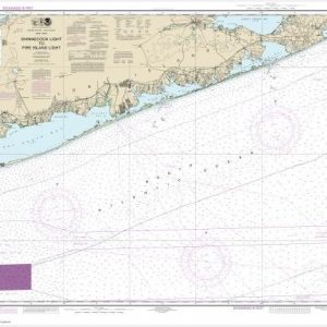
  • Shinnecock Light to Fire Island Light (chart 12353)

    $21.00
    Select options
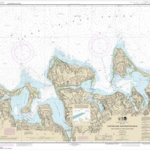
  • South Shore of Long Island Sound Oyster and Huntington Bays (chart 12365)

    $21.00
    Select options
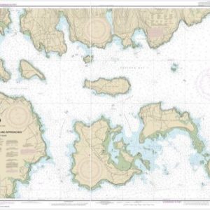
  • Southwest Harbor and Approaches (chart 13321)

    $21.00
    Select options
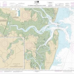
  • St. Andrew Sound and Satilla River (chart 11504)

    $21.00
    Select options
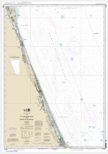
  • St. Augustine Light to Ponce de Leon Inlet (chart 11486)

    $21.00
    Select options
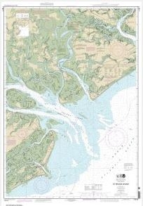
  • St. Helena Sound (chart 11517)

    $21.00
    Select options
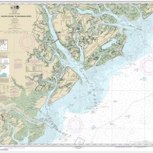
  • St. Helena Sound to Savannah River (chart 11513)

    $21.00
    Select options
  • St. John’s River Jacksonville to Racy Point (chart 11492)

    $21.00
    Select options
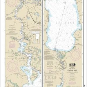
  • St. Johns River Dunns Creek to Lake Dexter (chart 11495)

    $21.00
    Select options
  • St. Johns River Lake Dexter to Lake Harney (chart 11498)

    $21.00
    Select options
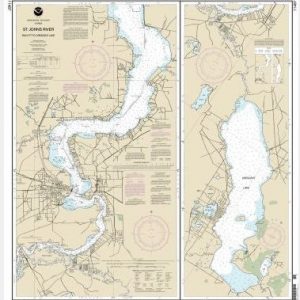
  • St. Johns River Racy Point to Crescent Lake (chart 11487)

    $21.00
    Select options
  • St. Johns River-Atlantic Ocean to Jacksonville (chart 11491)

    $21.00
    Select options
  • ←
  • 1
  • 2
  • 3
  • …
  • 17
  • 18
  • 19
  • 20
  • 21
  • 22
  • →

Chartside Map Locators

Looking for a specific nautical chart?

Download these helpful chartside indexes to find the chart you're looking for quickly.

Regions

  • Alaska
  • Atlantic
  • Pacific
  • Great Lakes
  • Gulf

(all chartside files are PDF format and are very large, be patient during download on slow connections)

Contact Us

Feel free to contact us if you have any questions.

  • 8119 Central Ave.
    Capitol Heights, MD 20743
  • HBudd@whmap.com
  • 301-336-1143
  • 800-338-6228
  • 301-336-5520
  • http://whmap.com/

Map Production

We have the staff, software and equipment to handle all aspects of cartography and map production. Our large library of software titles can accommodate the processing and editing of any customer-provided final files.

We are also able to create new maps by utilizing files output from a GIS environment, integrating such data with accompanying text and graphics (photographs, logos, street indexes, tables, etc.) into a clean, publication-quality layout.

Long Term

Williams & Heintz Map Corporation has been printing maps for entrepreneurs, government agencies, and map publishers for over 93 years. We combine the highest quality pre-press, printing, and folding with industry leading knowledge and customer service.

Sustainable

Williams & Heintz understands the importance of building and maintaining a cleaner environment and aims to contribute in as many ways possible throughout our map production and printing cycle.

We are continuously improving elements in our map making and printing process to produce the same high quality custom maps with far less negative impact on the environment.

Versatile

At Williams & Heintz, we can assist you with any aspect of map production and manufacturing, from the simplest 1-color map to the most complicated 12-color map, from 3″ x 5″ to 47 ¼ ” x 63″. Send us your digital files, or films and camera copy.

We welcome your difficult reproduction problems and complex technical maps as well as simpler jobs. All will get the same care and attention to detail that maps require, at a competitive price.

  • facebook
  • twitter
  • google plus
  • Linkedin
  • youtube
© 2022 Williams & Heintz Map Corporation. All Rights Reserved.

Web Design by Solnet