• facebook
  • twitter
  • google plus
  • Linkedin
  • youtube
Orders over $100 ship FREE 800-338-6228
NOAA Charts
$0.00 0
  • Home
  • Shop for nautical charts
  • Customer Login
  • Show Cart

Category: Atlantic

  • Home
  • Shop for nautical charts
  • Products
  • Atlantic
  • Page 21
Home / Shop for nautical charts / Atlantic / Page 21

Atlantic

Showing 241–252 of 256 results

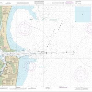
  • St. Marys Entrance Cumberland Sound and Kings Bay (chart 11503)

    $21.00
    Select options
  • St. Simons Sound, Brunswick Harbor and Turtle River (chart 11506)

    $21.00
    Select options
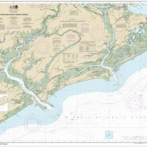
  • Stono and North Edisto Rivers (chart 11522)

    $21.00
    Select options
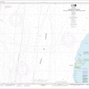
  • Straits of Florida Fowey Rocks, Hillsboro Inlet to Bimini Islands, Bahamas (chart 11469)

    $21.00
    Select options
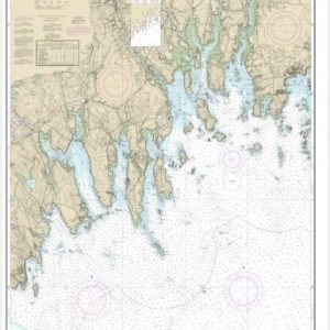
  • Tibbett Narrows to Schoodic Island (chart 13324)

    $21.00
    Select options
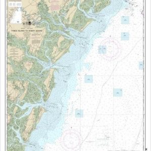
  • Tybee Island to Doboy Sound (chart 11509)

    $21.00
    Select options
  • Wando River Upper Part (chart 11526)

    $21.00
    Select options
  • Wellfleet Harbor; Sesuit Harbor (chart 13250)

    $21.00
    Select options
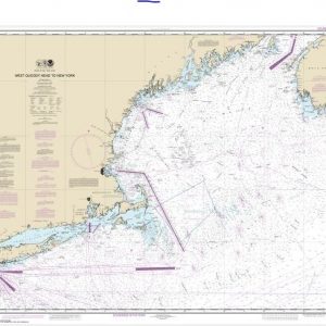
  • West Quoddy Head to New York (chart 13006)

    $21.00
    Select options
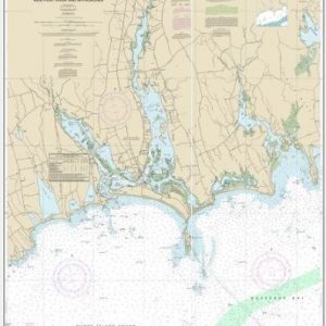
  • Westport River and Approaches (chart 13228)

    $21.00
    Select options
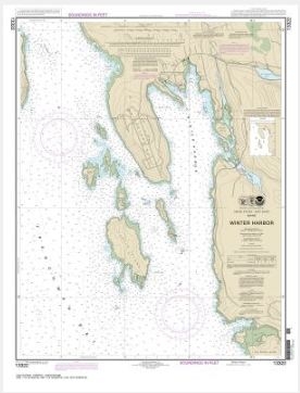
  • Winter Harbor (chart 13322)

    $21.00
    Select options
  • Winyah Bay (chart 11532)

    $21.00
    Select options
  • ←
  • 1
  • 2
  • 3
  • …
  • 18
  • 19
  • 20
  • 21
  • 22
  • →

Chartside Map Locators

Looking for a specific nautical chart?

Download these helpful chartside indexes to find the chart you're looking for quickly.

Regions

  • Alaska
  • Atlantic
  • Pacific
  • Great Lakes
  • Gulf

(all chartside files are PDF format and are very large, be patient during download on slow connections)

Contact Us

Feel free to contact us if you have any questions.

  • 8119 Central Ave.
    Capitol Heights, MD 20743
  • HBudd@whmap.com
  • 301-336-1143
  • 800-338-6228
  • 301-336-5520
  • http://whmap.com/

Map Production

We have the staff, software and equipment to handle all aspects of cartography and map production. Our large library of software titles can accommodate the processing and editing of any customer-provided final files.

We are also able to create new maps by utilizing files output from a GIS environment, integrating such data with accompanying text and graphics (photographs, logos, street indexes, tables, etc.) into a clean, publication-quality layout.

Long Term

Williams & Heintz Map Corporation has been printing maps for entrepreneurs, government agencies, and map publishers for over 93 years. We combine the highest quality pre-press, printing, and folding with industry leading knowledge and customer service.

Sustainable

Williams & Heintz understands the importance of building and maintaining a cleaner environment and aims to contribute in as many ways possible throughout our map production and printing cycle.

We are continuously improving elements in our map making and printing process to produce the same high quality custom maps with far less negative impact on the environment.

Versatile

At Williams & Heintz, we can assist you with any aspect of map production and manufacturing, from the simplest 1-color map to the most complicated 12-color map, from 3″ x 5″ to 47 ¼ ” x 63″. Send us your digital files, or films and camera copy.

We welcome your difficult reproduction problems and complex technical maps as well as simpler jobs. All will get the same care and attention to detail that maps require, at a competitive price.

  • facebook
  • twitter
  • google plus
  • Linkedin
  • youtube
© 2022 Williams & Heintz Map Corporation. All Rights Reserved.

Web Design by Solnet