• facebook
  • twitter
  • google plus
  • Linkedin
  • youtube
Orders over $100 ship FREE 800-338-6228
NOAA Charts
$0.00 0
  • Home
  • Shop for nautical charts
  • Customer Login
  • Show Cart

Category: Great Lakes

  • Home
  • Shop for nautical charts
  • Products
  • Great Lakes
  • Page 2
Home / Shop for nautical charts / Great Lakes / Page 2

Great Lakes

Showing 13–24 of 135 results

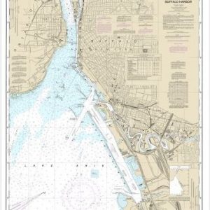
  • Buffalo Harbor (chart 14833)

    $21.00
    Select options
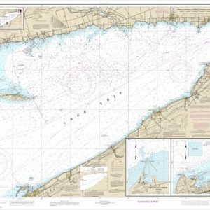
  • Buffalo to Erie;Dunkirk;Barcelone Harbor (chart 14838)

    $21.00
    Select options
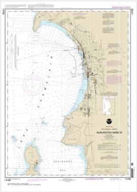
  • Burlington Harbor (chart 14785)

    $21.00
    Select options
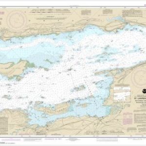
  • Butternut Bay, Ont., to Ironsides l., N.Y. (chart 14771)

    $21.00
    Select options
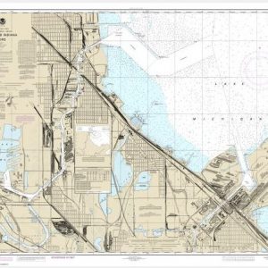
  • Calumet, Indiana and Buffington Harbors, and Lake Calumet (chart 14929)

    $21.00
    Select options
  • Cayuga and Seneca Lakes;Watkins Glen;Ithaca (chart 14791)

    $21.00
    Select options
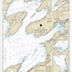
  • Chaumont, Henderson and Black River Bays;Sackets Harbor;Henderson Harbor;Chaumont Harbor (chart 14811)

    $21.00
    Select options
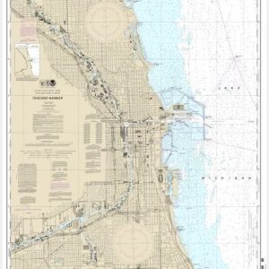
  • Chicago Harbor (chart 14928)

    $21.00
    Select options
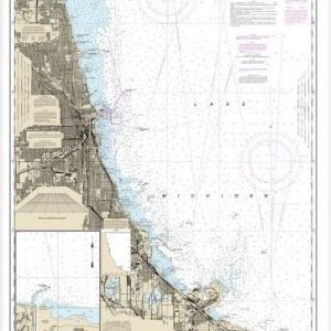
  • Chicago Lake Front;Gary Harbor (chart 14927)

    $21.00
    Select options
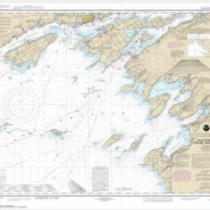
  • Clayton to False Ducks ls. (chart 14802)

    $21.00
    Select options
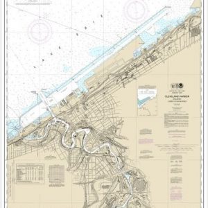
  • Cleveland Harbor, including lower Cuyahoga River (chart 14839)

    $21.00
    Select options
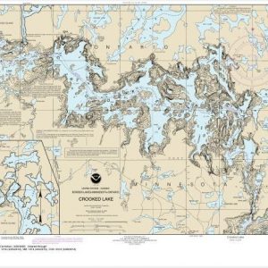
  • Crooked Lake (chart 14989)

    $21.00
    Select options
  • ←
  • 1
  • 2
  • 3
  • 4
  • 5
  • …
  • 10
  • 11
  • 12
  • →

Chartside Map Locators

Looking for a specific nautical chart?

Download these helpful chartside indexes to find the chart you're looking for quickly.

Regions

  • Alaska
  • Atlantic
  • Pacific
  • Great Lakes
  • Gulf

(all chartside files are PDF format and are very large, be patient during download on slow connections)

Contact Us

Feel free to contact us if you have any questions.

  • 8119 Central Ave.
    Capitol Heights, MD 20743
  • HBudd@whmap.com
  • 301-336-1143
  • 800-338-6228
  • 301-336-5520
  • http://whmap.com/

Map Production

We have the staff, software and equipment to handle all aspects of cartography and map production. Our large library of software titles can accommodate the processing and editing of any customer-provided final files.

We are also able to create new maps by utilizing files output from a GIS environment, integrating such data with accompanying text and graphics (photographs, logos, street indexes, tables, etc.) into a clean, publication-quality layout.

Long Term

Williams & Heintz Map Corporation has been printing maps for entrepreneurs, government agencies, and map publishers for over 93 years. We combine the highest quality pre-press, printing, and folding with industry leading knowledge and customer service.

Sustainable

Williams & Heintz understands the importance of building and maintaining a cleaner environment and aims to contribute in as many ways possible throughout our map production and printing cycle.

We are continuously improving elements in our map making and printing process to produce the same high quality custom maps with far less negative impact on the environment.

Versatile

At Williams & Heintz, we can assist you with any aspect of map production and manufacturing, from the simplest 1-color map to the most complicated 12-color map, from 3″ x 5″ to 47 ¼ ” x 63″. Send us your digital files, or films and camera copy.

We welcome your difficult reproduction problems and complex technical maps as well as simpler jobs. All will get the same care and attention to detail that maps require, at a competitive price.

  • facebook
  • twitter
  • google plus
  • Linkedin
  • youtube
© 2022 Williams & Heintz Map Corporation. All Rights Reserved.

Web Design by Solnet