• facebook
  • twitter
  • google plus
  • Linkedin
  • youtube
Orders over $100 ship FREE 800-338-6228
NOAA Charts
$0.00 0
  • Home
  • Shop for nautical charts
  • Customer Login
  • Show Cart

Category: Great Lakes

  • Home
  • Shop for nautical charts
  • Products
  • Great Lakes
  • Page 3
Home / Shop for nautical charts / Great Lakes / Page 3

Great Lakes

Showing 25–36 of 135 results

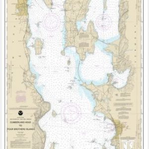
  • Cumberland Head to Four Brothers Islands (chart 14782)

    $21.00
    Select options
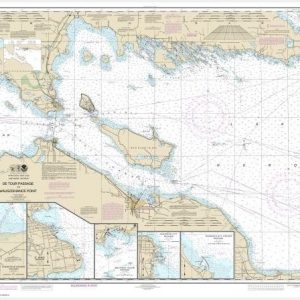
  • Detour Passage to Waugoshance Pt.;Hammond Bay Harbor;Mackinac Island;Cheboygan;Mackinaw City;St. lgnace (chart 14881)

    $21.00
    Select options
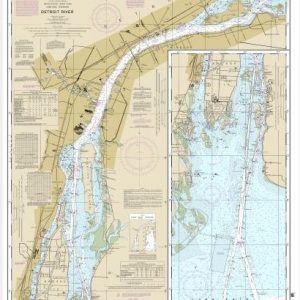
  • Detroit River (chart 14848)

    $21.00
    Select options
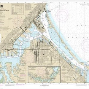
  • Duluth-Superior Harbor;Uppers St. Louis River (chart 14975)

    $21.00
    Select options
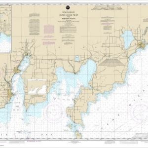
  • Dutch Johns Point to Fishery Point, including Big Bay de Noc and Little Bay de Noc;Manistique (chart 14908)

    $21.00
    Select options
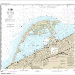
  • Erie Harbor (chart 14835)

    $21.00
    Select options
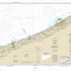
  • Erie to Geneva (Metric) (chart 14828)

    $21.00
    Select options
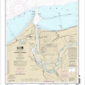
  • Fairport Harbor (chart 14837)

    $21.00
    Select options
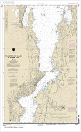
  • Four Brothers Islands to Barber Point (chart 14783)

    $21.00
    Select options
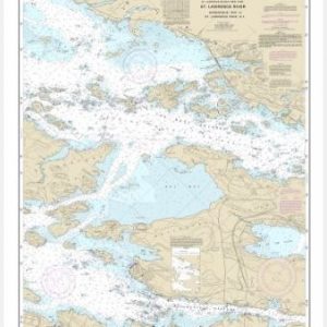
  • Gananoque, Ont., to St. Lawrence Park. N.Y. (chart 14773)

    $21.00
    Select options
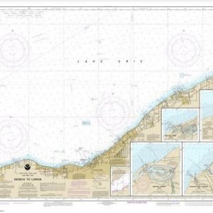
  • Geneva to Lorain (Metric);Beaver Creek;Rocky River ;Mentor Harbor;Chagrin River (chart 14829)

    $21.00
    Select options
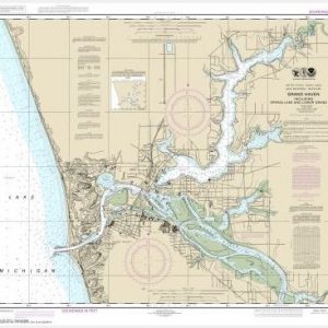
  • Grand Haven, including Spring Lake and Lower Grand River (chart 14933)

    $21.00
    Select options
  • ←
  • 1
  • 2
  • 3
  • 4
  • 5
  • 6
  • …
  • 10
  • 11
  • 12
  • →

Chartside Map Locators

Looking for a specific nautical chart?

Download these helpful chartside indexes to find the chart you're looking for quickly.

Regions

  • Alaska
  • Atlantic
  • Pacific
  • Great Lakes
  • Gulf

(all chartside files are PDF format and are very large, be patient during download on slow connections)

Contact Us

Feel free to contact us if you have any questions.

  • 8119 Central Ave.
    Capitol Heights, MD 20743
  • HBudd@whmap.com
  • 301-336-1143
  • 800-338-6228
  • 301-336-5520
  • http://whmap.com/

Map Production

We have the staff, software and equipment to handle all aspects of cartography and map production. Our large library of software titles can accommodate the processing and editing of any customer-provided final files.

We are also able to create new maps by utilizing files output from a GIS environment, integrating such data with accompanying text and graphics (photographs, logos, street indexes, tables, etc.) into a clean, publication-quality layout.

Long Term

Williams & Heintz Map Corporation has been printing maps for entrepreneurs, government agencies, and map publishers for over 93 years. We combine the highest quality pre-press, printing, and folding with industry leading knowledge and customer service.

Sustainable

Williams & Heintz understands the importance of building and maintaining a cleaner environment and aims to contribute in as many ways possible throughout our map production and printing cycle.

We are continuously improving elements in our map making and printing process to produce the same high quality custom maps with far less negative impact on the environment.

Versatile

At Williams & Heintz, we can assist you with any aspect of map production and manufacturing, from the simplest 1-color map to the most complicated 12-color map, from 3″ x 5″ to 47 ¼ ” x 63″. Send us your digital files, or films and camera copy.

We welcome your difficult reproduction problems and complex technical maps as well as simpler jobs. All will get the same care and attention to detail that maps require, at a competitive price.

  • facebook
  • twitter
  • google plus
  • Linkedin
  • youtube
© 2022 Williams & Heintz Map Corporation. All Rights Reserved.

Web Design by Solnet