• facebook
  • twitter
  • google plus
  • Linkedin
  • youtube
Orders over $100 ship FREE 800-338-6228
NOAA Charts
$0.00 0
  • Home
  • Shop for nautical charts
  • Customer Login
  • Show Cart

Category: Great Lakes

  • Home
  • Shop for nautical charts
  • Products
  • Great Lakes
  • Page 7
Home / Shop for nautical charts / Great Lakes / Page 7

Great Lakes

Showing 73–84 of 135 results

  • Manistee Harbor and Manistee Lake (chart 14938)

    $21.00
    Select options
  • Manitowoc and Sheboygan (chart 14922)

    $21.00
    Select options
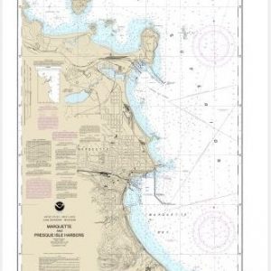
  • Marquette and Presque Isle Harbors (chart 14970)

    $21.00
    Select options
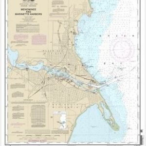
  • Menominee and Marinette Harbors (chart 14917)

    $21.00
    Select options
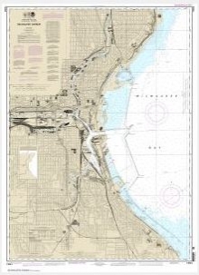
  • Milwaukee Harbor (chart 14924)

    $21.00
    Select options
  • Morristown, N.Y. to Butternut, Ont. (chart 14770)

    $21.00
    Select options
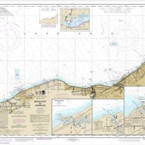
  • Moss Point to Vermilion;Beaver Creek;Vermilion Harbor;Rocky River (chart 14826)

    $21.00
    Select options
  • Munising Harbor and Approaches;Munising Harbor (chart 14969)

    $21.00
    Select options
  • Muskegon Lake and Muskegon Harbor (chart 14934)

    $21.00
    Select options
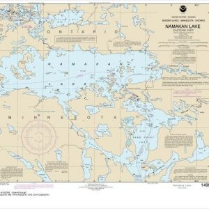
  • Namakan Lake, Eastern Part (chart 14993)

    $21.00
    Select options
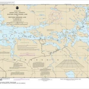
  • Namakan Lake, Western Part and Kabetogama Lake, Eastern Part (chart 14994)

    $21.00
    Select options
  • Niagara Falls to Buffalo (chart 14832)

    $21.00
    Select options
  • ←
  • 1
  • 2
  • 3
  • 4
  • 5
  • 6
  • 7
  • 8
  • 9
  • 10
  • 11
  • 12
  • →

Chartside Map Locators

Looking for a specific nautical chart?

Download these helpful chartside indexes to find the chart you're looking for quickly.

Regions

  • Alaska
  • Atlantic
  • Pacific
  • Great Lakes
  • Gulf

(all chartside files are PDF format and are very large, be patient during download on slow connections)

Contact Us

Feel free to contact us if you have any questions.

  • 8119 Central Ave.
    Capitol Heights, MD 20743
  • HBudd@whmap.com
  • 301-336-1143
  • 800-338-6228
  • 301-336-5520
  • http://whmap.com/

Map Production

We have the staff, software and equipment to handle all aspects of cartography and map production. Our large library of software titles can accommodate the processing and editing of any customer-provided final files.

We are also able to create new maps by utilizing files output from a GIS environment, integrating such data with accompanying text and graphics (photographs, logos, street indexes, tables, etc.) into a clean, publication-quality layout.

Long Term

Williams & Heintz Map Corporation has been printing maps for entrepreneurs, government agencies, and map publishers for over 93 years. We combine the highest quality pre-press, printing, and folding with industry leading knowledge and customer service.

Sustainable

Williams & Heintz understands the importance of building and maintaining a cleaner environment and aims to contribute in as many ways possible throughout our map production and printing cycle.

We are continuously improving elements in our map making and printing process to produce the same high quality custom maps with far less negative impact on the environment.

Versatile

At Williams & Heintz, we can assist you with any aspect of map production and manufacturing, from the simplest 1-color map to the most complicated 12-color map, from 3″ x 5″ to 47 ¼ ” x 63″. Send us your digital files, or films and camera copy.

We welcome your difficult reproduction problems and complex technical maps as well as simpler jobs. All will get the same care and attention to detail that maps require, at a competitive price.

  • facebook
  • twitter
  • google plus
  • Linkedin
  • youtube
© 2022 Williams & Heintz Map Corporation. All Rights Reserved.

Web Design by Solnet