• facebook
  • twitter
  • google plus
  • Linkedin
  • youtube
Orders over $100 ship FREE 800-338-6228
NOAA Charts
$0.00 0
  • Home
  • Shop for nautical charts
  • Customer Login
  • Show Cart

Category: Gulf

  • Home
  • Shop for nautical charts
  • Products
  • Gulf
  • Page 13
Home / Shop for nautical charts / Gulf / Page 13

Gulf

Showing 145–156 of 161 results

  • Southern part of Laguna Madre (chart 11301)

    $21.00
    Select options
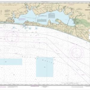
  • St Joseph and St Andrew Bays (chart 11389)

    $21.00
    Select options
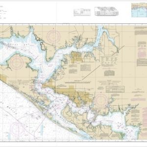
  • St. Andrew Bay – Bear Point to Sulpher Point (chart 11392)

    $21.00
    Select options
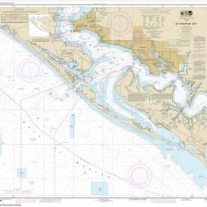
  • St. Andrew Bay (chart 11391)

    $21.00
    Select options
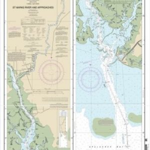
  • St.Marks River and approaches (chart 11406)

    $21.00
    Select options
  • Straits of Florida and Approaches (chart 11013)

    $21.00
    Select options
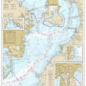
  • Tampa Bay and St. Joseph Sound (chart 11412)

    $21.00
    Select options
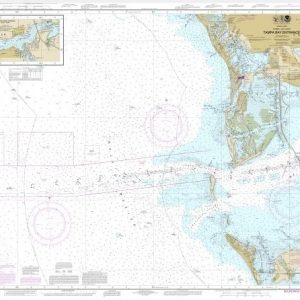
  • Tampa Bay Entrance; Manatee River Extension (chart 11415)

    $21.00
    Select options
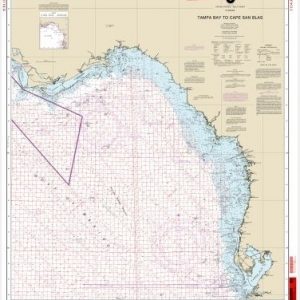
  • Tampa Bay to Cape San Blas (chart 11400)

    $21.00
    Select options
  • Tampa Bay to Cape San Blas (Oil and Gas Leasing Areas)

    $21.00
    Select options
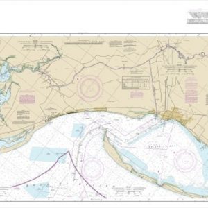
  • Tampa Bay;Safety Harbor;St. Petersburg;Tampa (chart 11416)

    $21.00
    Select options
  • Timbalier and Terrebonne Bays (chart 11357)

    $21.00
    Select options
  • ←
  • 1
  • 2
  • 3
  • …
  • 10
  • 11
  • 12
  • 13
  • 14
  • →

Chartside Map Locators

Looking for a specific nautical chart?

Download these helpful chartside indexes to find the chart you're looking for quickly.

Regions

  • Alaska
  • Atlantic
  • Pacific
  • Great Lakes
  • Gulf

(all chartside files are PDF format and are very large, be patient during download on slow connections)

Contact Us

Feel free to contact us if you have any questions.

  • 8119 Central Ave.
    Capitol Heights, MD 20743
  • HBudd@whmap.com
  • 301-336-1143
  • 800-338-6228
  • 301-336-5520
  • http://whmap.com/

Map Production

We have the staff, software and equipment to handle all aspects of cartography and map production. Our large library of software titles can accommodate the processing and editing of any customer-provided final files.

We are also able to create new maps by utilizing files output from a GIS environment, integrating such data with accompanying text and graphics (photographs, logos, street indexes, tables, etc.) into a clean, publication-quality layout.

Long Term

Williams & Heintz Map Corporation has been printing maps for entrepreneurs, government agencies, and map publishers for over 93 years. We combine the highest quality pre-press, printing, and folding with industry leading knowledge and customer service.

Sustainable

Williams & Heintz understands the importance of building and maintaining a cleaner environment and aims to contribute in as many ways possible throughout our map production and printing cycle.

We are continuously improving elements in our map making and printing process to produce the same high quality custom maps with far less negative impact on the environment.

Versatile

At Williams & Heintz, we can assist you with any aspect of map production and manufacturing, from the simplest 1-color map to the most complicated 12-color map, from 3″ x 5″ to 47 ¼ ” x 63″. Send us your digital files, or films and camera copy.

We welcome your difficult reproduction problems and complex technical maps as well as simpler jobs. All will get the same care and attention to detail that maps require, at a competitive price.

  • facebook
  • twitter
  • google plus
  • Linkedin
  • youtube
© 2022 Williams & Heintz Map Corporation. All Rights Reserved.

Web Design by Solnet