• facebook
  • twitter
  • google plus
  • Linkedin
  • youtube
Orders over $100 ship FREE 800-338-6228
NOAA Charts
$0.00 0
  • Home
  • Shop for nautical charts
  • Customer Login
  • Show Cart

Category: Gulf

  • Home
  • Shop for nautical charts
  • Products
  • Gulf
  • Page 2
Home / Shop for nautical charts / Gulf / Page 2

Gulf

Showing 13–24 of 161 results

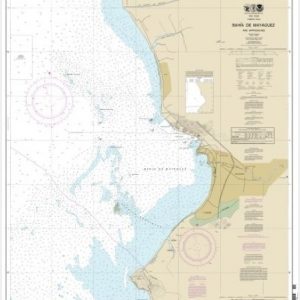
  • Bahia de Mayaguez and Approaches (chart 25673)

    $21.00
    Select options
  • Bahia de Ponce and Approaches (chart 25683)

    $21.00
    Select options
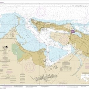
  • Bahia de San Juan (chart 25670)

    $21.00
    Select options
  • Baptiste Collette Bayou to Mississippi River Gulf Outlet;Baptiste Collette Bayou Extension (chart 11353)

    $21.00
    Select options
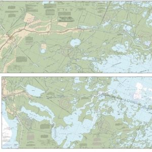
  • Barataria and Bayou Lafourche Waterways Intracoastal Waterway to Gulf of Mexico (chart 11365)

    $21.00
    Select options
  • Barataria Bay and approaches (chart 11358)

    $21.00
    Select options
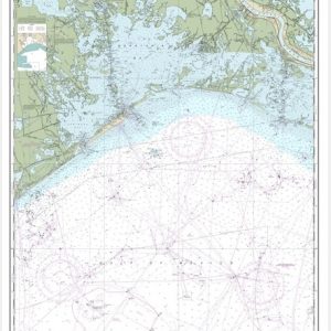
  • Calcasieu Pass to Sabine Pass (chart 11341)

    $21.00
    Select options
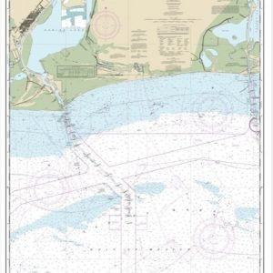
  • Calcasieu River and Approaches (chart 11339)

    $21.00
    Select options
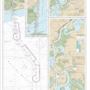
  • Calcasieu River and Lake (chart 11347)

    $21.00
    Select options
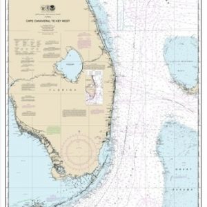
  • Cape Canaveral to Key West (chart 11460)

    $21.00
    Select options
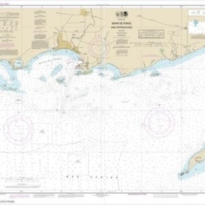
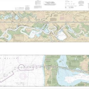
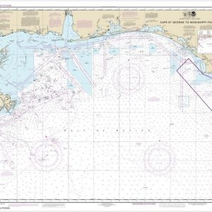
  • Cape St. George to Mississippi Passes (chart 11360)

    $21.00
    Select options
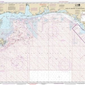
  • Cape St. George to Mississippi Passes (Oil and Gas Leasing Areas)

    $21.00
    Select options
  • ←
  • 1
  • 2
  • 3
  • 4
  • 5
  • …
  • 12
  • 13
  • 14
  • →

Chartside Map Locators

Looking for a specific nautical chart?

Download these helpful chartside indexes to find the chart you're looking for quickly.

Regions

  • Alaska
  • Atlantic
  • Pacific
  • Great Lakes
  • Gulf

(all chartside files are PDF format and are very large, be patient during download on slow connections)

Contact Us

Feel free to contact us if you have any questions.

  • 8119 Central Ave.
    Capitol Heights, MD 20743
  • HBudd@whmap.com
  • 301-336-1143
  • 800-338-6228
  • 301-336-5520
  • http://whmap.com/

Map Production

We have the staff, software and equipment to handle all aspects of cartography and map production. Our large library of software titles can accommodate the processing and editing of any customer-provided final files.

We are also able to create new maps by utilizing files output from a GIS environment, integrating such data with accompanying text and graphics (photographs, logos, street indexes, tables, etc.) into a clean, publication-quality layout.

Long Term

Williams & Heintz Map Corporation has been printing maps for entrepreneurs, government agencies, and map publishers for over 93 years. We combine the highest quality pre-press, printing, and folding with industry leading knowledge and customer service.

Sustainable

Williams & Heintz understands the importance of building and maintaining a cleaner environment and aims to contribute in as many ways possible throughout our map production and printing cycle.

We are continuously improving elements in our map making and printing process to produce the same high quality custom maps with far less negative impact on the environment.

Versatile

At Williams & Heintz, we can assist you with any aspect of map production and manufacturing, from the simplest 1-color map to the most complicated 12-color map, from 3″ x 5″ to 47 ¼ ” x 63″. Send us your digital files, or films and camera copy.

We welcome your difficult reproduction problems and complex technical maps as well as simpler jobs. All will get the same care and attention to detail that maps require, at a competitive price.

  • facebook
  • twitter
  • google plus
  • Linkedin
  • youtube
© 2022 Williams & Heintz Map Corporation. All Rights Reserved.

Web Design by Solnet