• facebook
  • twitter
  • google plus
  • Linkedin
  • youtube
Orders over $100 ship FREE 800-338-6228
NOAA Charts
$0.00 0
  • Home
  • Shop for nautical charts
  • Customer Login
  • Show Cart

Category: Gulf

  • Home
  • Shop for nautical charts
  • Products
  • Gulf
  • Page 4
Home / Shop for nautical charts / Gulf / Page 4

Gulf

Showing 37–48 of 161 results

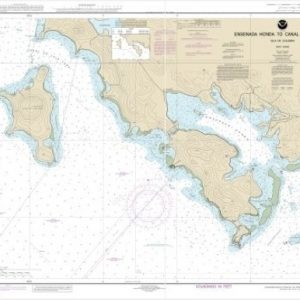
  • Ensenada Honda to Canal de Luis Pena (chart 25655)

    $21.00
    Select options
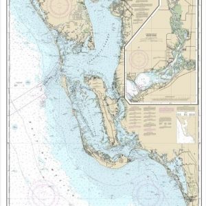
  • Estero Bay to Lemon Bay, including Charlotte Harbor;Continuation of Peace River (chart 11426)

    $21.00
    Select options
  • Everglades National Park Shark River to Lostmans River (chart 11432)

    $21.00
    Select options
  • Everglades National Park Whitewater Bay (chart 11433)

    $21.00
    Select options
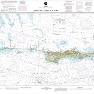
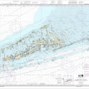
  • Florida Keys Grassy Key to Bahia Honda Key (chart 11453)

    $21.00
    Select options
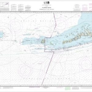
  • Florida Keys Sombrero Key to Dry Tortugas (chart 11434)

    $21.00
    Select options
  • Florida Keys Sombrero Key to Sand Key (chart 11442)

    $21.00
    Select options
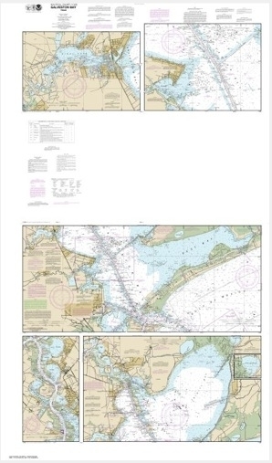
  • FOLIO SMALL-CRAFT CHART Galveston Bay (chart 11326)

    $50.00
    Select options
  • Fowey Rocks to Alligator Reef (chart 11462)

    $21.00
    Select options
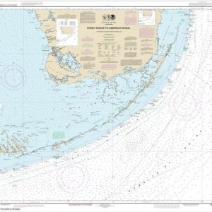
  • Fowey Rocks to American Shoal (chart 11450)

    $21.00
    Select options
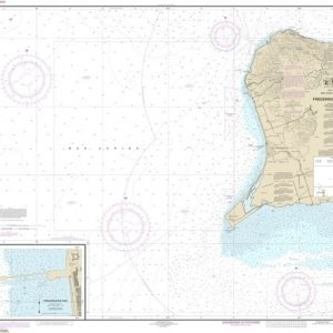
  • Frederiksted Road;Frederiksted Pier (chart 25644)

    $21.00
    Select options
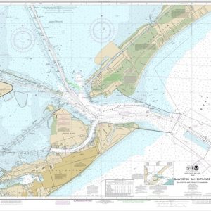
  • Galveston Bay Entrance Galveston and Texas City Harbors (chart 11324)

    $21.00
    Select options
  • ←
  • 1
  • 2
  • 3
  • 4
  • 5
  • 6
  • 7
  • …
  • 12
  • 13
  • 14
  • →

Chartside Map Locators

Looking for a specific nautical chart?

Download these helpful chartside indexes to find the chart you're looking for quickly.

Regions

  • Alaska
  • Atlantic
  • Pacific
  • Great Lakes
  • Gulf

(all chartside files are PDF format and are very large, be patient during download on slow connections)

Contact Us

Feel free to contact us if you have any questions.

  • 8119 Central Ave.
    Capitol Heights, MD 20743
  • HBudd@whmap.com
  • 301-336-1143
  • 800-338-6228
  • 301-336-5520
  • http://whmap.com/

Map Production

We have the staff, software and equipment to handle all aspects of cartography and map production. Our large library of software titles can accommodate the processing and editing of any customer-provided final files.

We are also able to create new maps by utilizing files output from a GIS environment, integrating such data with accompanying text and graphics (photographs, logos, street indexes, tables, etc.) into a clean, publication-quality layout.

Long Term

Williams & Heintz Map Corporation has been printing maps for entrepreneurs, government agencies, and map publishers for over 93 years. We combine the highest quality pre-press, printing, and folding with industry leading knowledge and customer service.

Sustainable

Williams & Heintz understands the importance of building and maintaining a cleaner environment and aims to contribute in as many ways possible throughout our map production and printing cycle.

We are continuously improving elements in our map making and printing process to produce the same high quality custom maps with far less negative impact on the environment.

Versatile

At Williams & Heintz, we can assist you with any aspect of map production and manufacturing, from the simplest 1-color map to the most complicated 12-color map, from 3″ x 5″ to 47 ¼ ” x 63″. Send us your digital files, or films and camera copy.

We welcome your difficult reproduction problems and complex technical maps as well as simpler jobs. All will get the same care and attention to detail that maps require, at a competitive price.

  • facebook
  • twitter
  • google plus
  • Linkedin
  • youtube
© 2022 Williams & Heintz Map Corporation. All Rights Reserved.

Web Design by Solnet