• facebook
  • twitter
  • google plus
  • Linkedin
  • youtube
Orders over $100 ship FREE 800-338-6228
NOAA Charts
$0.00 0
  • Home
  • Shop for nautical charts
  • Customer Login
  • Show Cart

Category: Pacific

  • Home
  • Shop for nautical charts
  • Products
  • Pacific
  • Page 10
Home / Shop for nautical charts / Pacific / Page 10

Pacific

Showing 109–120 of 214 results

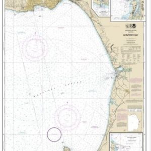
  • Monterey Bay;Monterey Harbor;Moss Landing Harbor;Santa Cruz Small Craft Harbor (chart 18685)

    $21.00
    Select options
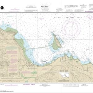
  • Neah Bay (chart 18484)

    $21.00
    Select options
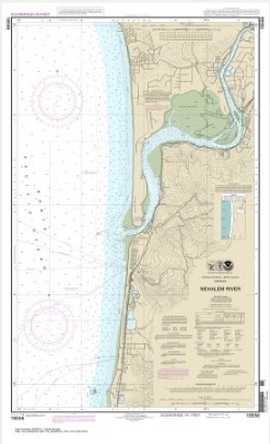
  • Nehalem River (chart 18556)

    $21.00
    Select options
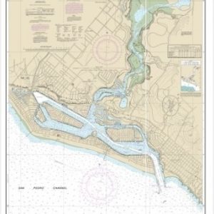
  • Newport Bay (chart 18754)

    $21.00
    Select options
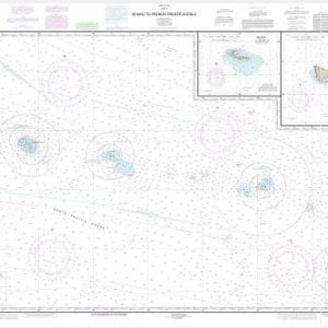
  • Ni’ihau to French Frigate Shoals;Necker Island;Nihoa (chart 19016)

    $21.00
    Select options
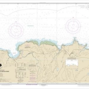
  • North Coast of Kaua’i Ha’ena Point to Kepuhi Point (chart 19385)

    $21.00
    Select options
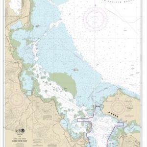
  • O’ahu East Coast Kane’ohe Bay (chart 19359)

    $21.00
    Select options
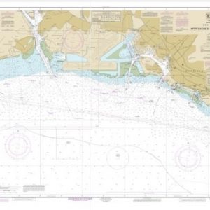
  • O’ahu South Coast Approaches to Pearl Harbor (chart 19369)

    $21.00
    Select options
  • Placeholder

    O’ahu to Ni’ihau (chart 19380)

    $21.00
    Select options
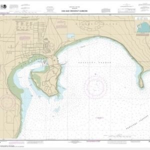
  • Oak and Crescent Harbors (chart 18428)

    $21.00
    Select options
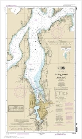
  • Olympia Harbor and Budd Inlet (chart 18456)

    $21.00
    Select options
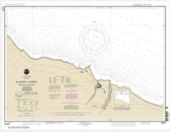
  • Pa’auhau Landing Island Of Hawai’i (chart 19326)

    $21.00
    Select options
  • ←
  • 1
  • 2
  • 3
  • …
  • 7
  • 8
  • 9
  • 10
  • 11
  • 12
  • 13
  • …
  • 16
  • 17
  • 18
  • →

Chartside Map Locators

Looking for a specific nautical chart?

Download these helpful chartside indexes to find the chart you're looking for quickly.

Regions

  • Alaska
  • Atlantic
  • Pacific
  • Great Lakes
  • Gulf

(all chartside files are PDF format and are very large, be patient during download on slow connections)

Contact Us

Feel free to contact us if you have any questions.

  • 8119 Central Ave.
    Capitol Heights, MD 20743
  • HBudd@whmap.com
  • 301-336-1143
  • 800-338-6228
  • 301-336-5520
  • http://whmap.com/

Map Production

We have the staff, software and equipment to handle all aspects of cartography and map production. Our large library of software titles can accommodate the processing and editing of any customer-provided final files.

We are also able to create new maps by utilizing files output from a GIS environment, integrating such data with accompanying text and graphics (photographs, logos, street indexes, tables, etc.) into a clean, publication-quality layout.

Long Term

Williams & Heintz Map Corporation has been printing maps for entrepreneurs, government agencies, and map publishers for over 93 years. We combine the highest quality pre-press, printing, and folding with industry leading knowledge and customer service.

Sustainable

Williams & Heintz understands the importance of building and maintaining a cleaner environment and aims to contribute in as many ways possible throughout our map production and printing cycle.

We are continuously improving elements in our map making and printing process to produce the same high quality custom maps with far less negative impact on the environment.

Versatile

At Williams & Heintz, we can assist you with any aspect of map production and manufacturing, from the simplest 1-color map to the most complicated 12-color map, from 3″ x 5″ to 47 ¼ ” x 63″. Send us your digital files, or films and camera copy.

We welcome your difficult reproduction problems and complex technical maps as well as simpler jobs. All will get the same care and attention to detail that maps require, at a competitive price.

  • facebook
  • twitter
  • google plus
  • Linkedin
  • youtube
© 2022 Williams & Heintz Map Corporation. All Rights Reserved.

Web Design by Solnet