• facebook
  • twitter
  • google plus
  • Linkedin
  • youtube
Orders over $100 ship FREE 800-338-6228
NOAA Charts
$0.00 0
  • Home
  • Shop for nautical charts
  • Customer Login
  • Show Cart

Category: Pacific

  • Home
  • Shop for nautical charts
  • Products
  • Pacific
  • Page 11
Home / Shop for nautical charts / Pacific / Page 11

Pacific

Showing 121–132 of 214 results

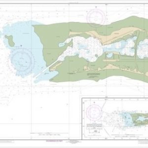
  • Palmyra Atoll;Approaches to Palmyra Atoll (chart 83157)

    $21.00
    Select options
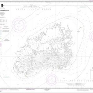
  • Pearl and Hermes Atoll (chart 19461)

    $21.00
    Select options
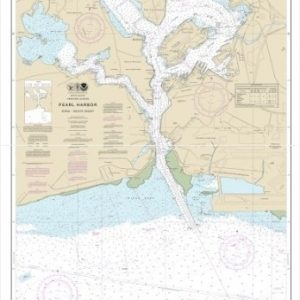
  • Pearl Harbor O’ahu South Coast (chart 19366)

    $21.00
    Select options
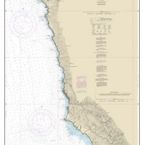
  • Pfeiffer Point to Cypress Point (chart 18686)

    $21.00
    Select options
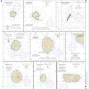
  • Plans in the Mariana Islands (Metric) Faraloon de Pajaros;Sarigan Island;Farallon de Medinilla;Ascuncion Island;Agrihan;Agrihan Anchorge;Alamagan Island;Guguan;Anatahan (chart 8108

    $21.00
    Select options
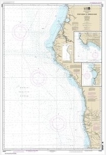
  • Point Arena to Trinidad Head;Rockport Landing;Shelter Cove (chart 18620)

    $21.00
    Select options
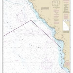
  • Point Conception to Point Sur (chart 18700)

    $21.00
    Select options
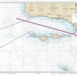
  • Point Dume to Purisma Point (chart 18720)

    $21.00
    Select options
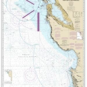
  • Point Sur to San Francisco (chart 18680)

    $21.00
    Select options
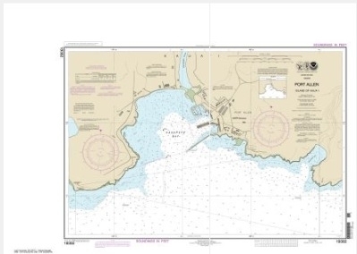
  • Port Allen Island of Kaua’i (chart 19382)

    $21.00
    Select options
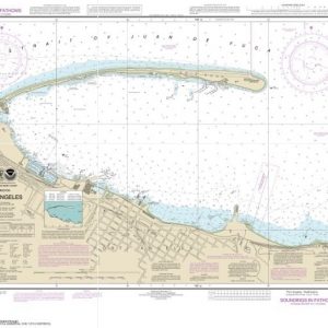
  • Port Angeles (chart 18468)

    $21.00
    Select options
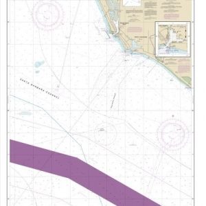
  • Port Hueneme And Approaches;Port Hueneme (chart 18724)

    $21.00
    Select options
  • ←
  • 1
  • 2
  • 3
  • …
  • 8
  • 9
  • 10
  • 11
  • 12
  • 13
  • 14
  • …
  • 16
  • 17
  • 18
  • →

Chartside Map Locators

Looking for a specific nautical chart?

Download these helpful chartside indexes to find the chart you're looking for quickly.

Regions

  • Alaska
  • Atlantic
  • Pacific
  • Great Lakes
  • Gulf

(all chartside files are PDF format and are very large, be patient during download on slow connections)

Contact Us

Feel free to contact us if you have any questions.

  • 8119 Central Ave.
    Capitol Heights, MD 20743
  • HBudd@whmap.com
  • 301-336-1143
  • 800-338-6228
  • 301-336-5520
  • http://whmap.com/

Map Production

We have the staff, software and equipment to handle all aspects of cartography and map production. Our large library of software titles can accommodate the processing and editing of any customer-provided final files.

We are also able to create new maps by utilizing files output from a GIS environment, integrating such data with accompanying text and graphics (photographs, logos, street indexes, tables, etc.) into a clean, publication-quality layout.

Long Term

Williams & Heintz Map Corporation has been printing maps for entrepreneurs, government agencies, and map publishers for over 93 years. We combine the highest quality pre-press, printing, and folding with industry leading knowledge and customer service.

Sustainable

Williams & Heintz understands the importance of building and maintaining a cleaner environment and aims to contribute in as many ways possible throughout our map production and printing cycle.

We are continuously improving elements in our map making and printing process to produce the same high quality custom maps with far less negative impact on the environment.

Versatile

At Williams & Heintz, we can assist you with any aspect of map production and manufacturing, from the simplest 1-color map to the most complicated 12-color map, from 3″ x 5″ to 47 ¼ ” x 63″. Send us your digital files, or films and camera copy.

We welcome your difficult reproduction problems and complex technical maps as well as simpler jobs. All will get the same care and attention to detail that maps require, at a competitive price.

  • facebook
  • twitter
  • google plus
  • Linkedin
  • youtube
© 2022 Williams & Heintz Map Corporation. All Rights Reserved.

Web Design by Solnet