• facebook
  • twitter
  • google plus
  • Linkedin
  • youtube
Orders over $100 ship FREE 800-338-6228
NOAA Charts
$0.00 0
  • Home
  • Shop for nautical charts
  • Customer Login
  • Show Cart

Category: Pacific

  • Home
  • Shop for nautical charts
  • Products
  • Pacific
  • Page 16
Home / Shop for nautical charts / Pacific / Page 16

Pacific

Showing 181–192 of 214 results

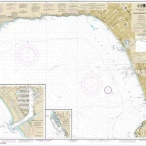
  • Santa Monica Bay;King Harbor (chart 18744)

    $21.00
    Select options
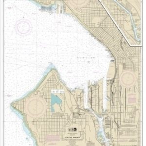
  • Seattle Harbor, Elliott Bay and Duwamish Waterway (chart 18450)

    $21.00
    Select options
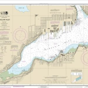
  • Sinclair Inlet (chart 18452)

    $21.00
    Select options
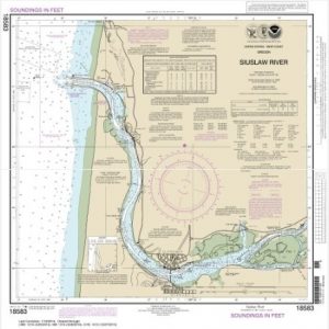
  • Siuslaw River (chart 18583)

    $21.00
    Select options
  • Snake River-Lake Bryon (chart 18547)

    $21.00
    Select options
  • Snake River-Lake Herbert G. West (chart 18546)

    $21.00
    Select options
  • Snake River-Lower Granite Lake FRANKLIN D. ROOSEVELT LAKE (chart 18548)

    $21.00
    Select options
  • South Coast of O’ahu Kalaeloa (chart 19362)

    $21.00
    Select options
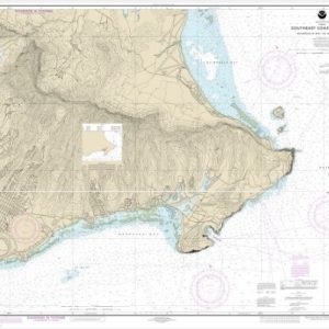
  • Southeast Coast of O’ahu Waimanalo Bay to Diamond Head (chart 19358)

    $21.00
    Select options
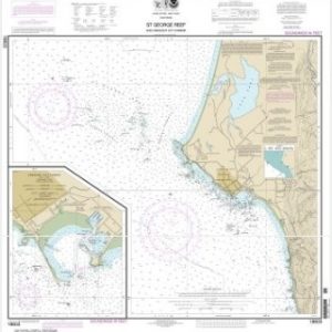
  • St. George Reef and Crescent City Harbor;Crescent City Harbor (chart 18603)

    $21.00
    Select options
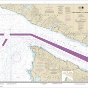
  • Stait of Juan de Fuca Entrance (includes Metric version) (chart 18460)

    $21.00
    Select options
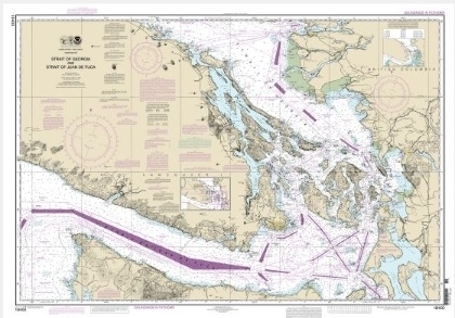
  • Strait of Georgia and Strait of Juan de Fuca (chart 18400)

    $21.00
    Select options
  • ←
  • 1
  • 2
  • 3
  • …
  • 13
  • 14
  • 15
  • 16
  • 17
  • 18
  • →

Chartside Map Locators

Looking for a specific nautical chart?

Download these helpful chartside indexes to find the chart you're looking for quickly.

Regions

  • Alaska
  • Atlantic
  • Pacific
  • Great Lakes
  • Gulf

(all chartside files are PDF format and are very large, be patient during download on slow connections)

Contact Us

Feel free to contact us if you have any questions.

  • 8119 Central Ave.
    Capitol Heights, MD 20743
  • HBudd@whmap.com
  • 301-336-1143
  • 800-338-6228
  • 301-336-5520
  • http://whmap.com/

Map Production

We have the staff, software and equipment to handle all aspects of cartography and map production. Our large library of software titles can accommodate the processing and editing of any customer-provided final files.

We are also able to create new maps by utilizing files output from a GIS environment, integrating such data with accompanying text and graphics (photographs, logos, street indexes, tables, etc.) into a clean, publication-quality layout.

Long Term

Williams & Heintz Map Corporation has been printing maps for entrepreneurs, government agencies, and map publishers for over 93 years. We combine the highest quality pre-press, printing, and folding with industry leading knowledge and customer service.

Sustainable

Williams & Heintz understands the importance of building and maintaining a cleaner environment and aims to contribute in as many ways possible throughout our map production and printing cycle.

We are continuously improving elements in our map making and printing process to produce the same high quality custom maps with far less negative impact on the environment.

Versatile

At Williams & Heintz, we can assist you with any aspect of map production and manufacturing, from the simplest 1-color map to the most complicated 12-color map, from 3″ x 5″ to 47 ¼ ” x 63″. Send us your digital files, or films and camera copy.

We welcome your difficult reproduction problems and complex technical maps as well as simpler jobs. All will get the same care and attention to detail that maps require, at a competitive price.

  • facebook
  • twitter
  • google plus
  • Linkedin
  • youtube
© 2022 Williams & Heintz Map Corporation. All Rights Reserved.

Web Design by Solnet