• facebook
  • twitter
  • google plus
  • Linkedin
  • youtube
Orders over $100 ship FREE 800-338-6228
NOAA Charts
$0.00 0
  • Home
  • Shop for nautical charts
  • Customer Login
  • Show Cart

Category: Pacific

  • Home
  • Shop for nautical charts
  • Products
  • Pacific
  • Page 17
Home / Shop for nautical charts / Pacific / Page 17

Pacific

Showing 193–204 of 214 results

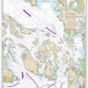
  • Strait of Juan de Fuca to Strait of Georgia; Drayton Harbor (chart 18421)

    $21.00
    Select options
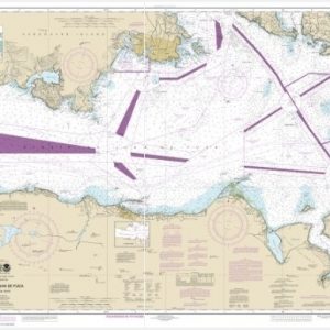
  • Strait of Juan de Fuca-eastern part (chart 18465)

    $21.00
    Select options
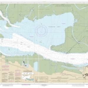
  • Suisun Bay (chart 18656)

    $21.00
    Select options
  • Suisun Bay Middle Ground to New York Slough (chart 18666)

    $21.00
    Select options
  • SUISUN BAY-Mallard Island to Antioch (chart 18659)

    $21.00
    Select options
  • SUISUN BAY-Roe Island and vicinity (chart 18658)

    $21.00
    Select options
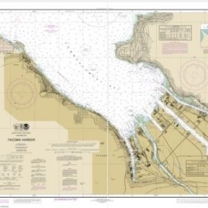
  • Tacoma Harbor (chart 18453)

    $21.00
    Select options
  • Tillamook Bay (chart 18558)

    $21.00
    Select options
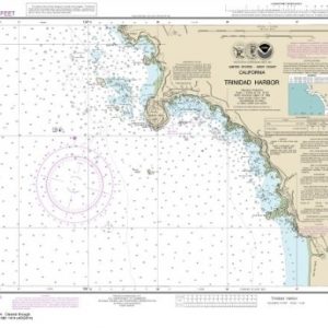
  • Trinidad Harbor (chart 18605)

    $21.00
    Select options
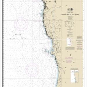
  • Trinidad Head to Cape Blanco (chart 18600)

    $21.00
    Select options
  • U.S. Possessions in Samoa Islands Manua Islands;Pago Pago Harbor;Tutuila Island;Rose Atoll;Swains Island (chart 83484)

    $21.00
    Select options
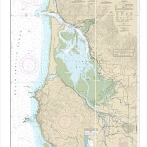
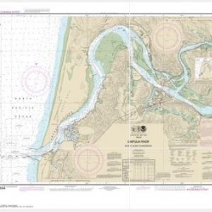
  • Umpqua River Pacific Ocean to Reedsport (chart 18584)

    $21.00
    Select options
  • ←
  • 1
  • 2
  • 3
  • …
  • 14
  • 15
  • 16
  • 17
  • 18
  • →

Chartside Map Locators

Looking for a specific nautical chart?

Download these helpful chartside indexes to find the chart you're looking for quickly.

Regions

  • Alaska
  • Atlantic
  • Pacific
  • Great Lakes
  • Gulf

(all chartside files are PDF format and are very large, be patient during download on slow connections)

Contact Us

Feel free to contact us if you have any questions.

  • 8119 Central Ave.
    Capitol Heights, MD 20743
  • HBudd@whmap.com
  • 301-336-1143
  • 800-338-6228
  • 301-336-5520
  • http://whmap.com/

Map Production

We have the staff, software and equipment to handle all aspects of cartography and map production. Our large library of software titles can accommodate the processing and editing of any customer-provided final files.

We are also able to create new maps by utilizing files output from a GIS environment, integrating such data with accompanying text and graphics (photographs, logos, street indexes, tables, etc.) into a clean, publication-quality layout.

Long Term

Williams & Heintz Map Corporation has been printing maps for entrepreneurs, government agencies, and map publishers for over 93 years. We combine the highest quality pre-press, printing, and folding with industry leading knowledge and customer service.

Sustainable

Williams & Heintz understands the importance of building and maintaining a cleaner environment and aims to contribute in as many ways possible throughout our map production and printing cycle.

We are continuously improving elements in our map making and printing process to produce the same high quality custom maps with far less negative impact on the environment.

Versatile

At Williams & Heintz, we can assist you with any aspect of map production and manufacturing, from the simplest 1-color map to the most complicated 12-color map, from 3″ x 5″ to 47 ¼ ” x 63″. Send us your digital files, or films and camera copy.

We welcome your difficult reproduction problems and complex technical maps as well as simpler jobs. All will get the same care and attention to detail that maps require, at a competitive price.

  • facebook
  • twitter
  • google plus
  • Linkedin
  • youtube
© 2022 Williams & Heintz Map Corporation. All Rights Reserved.

Web Design by Solnet