• facebook
  • twitter
  • google plus
  • Linkedin
  • youtube
Orders over $100 ship FREE 800-338-6228
NOAA Charts
$0.00 0
  • Home
  • Shop for nautical charts
  • Customer Login
  • Show Cart

Category: Pacific

  • Home
  • Shop for nautical charts
  • Products
  • Pacific
  • Page 3
Home / Shop for nautical charts / Pacific / Page 3

Pacific

Showing 25–36 of 214 results

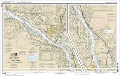
  • Columbia River Crims Island to Saint Helens (chart 18524)

    $21.00
    Select options
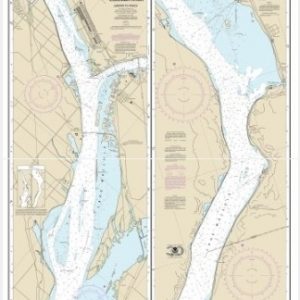
  • Columbia River Harrington Point to Crims Island (chart 18523)

    $21.00
    Select options
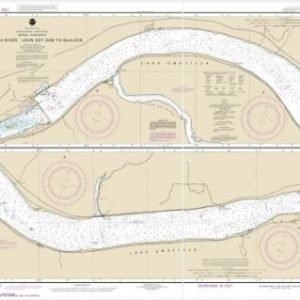
  • Columbia River John Day Dam to Blalock (chart 18535)

    $21.00
    Select options
  • Columbia River Juniper to Pasco (chart 18542)

    $21.00
    Select options
  • Columbia River Lake Celilo (chart 18533)

    $21.00
    Select options
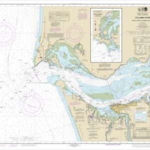
  • Columbia River Pacific Ocean to Harrington Point; Ilwaco Harbor (chart 18521)

    $21.00
    Select options
  • Columbia River Pasco to Richland (chart 18543)

    $21.00
    Select options
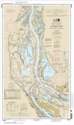
  • Columbia River Saint Helens to Vancouver (chart 18525)

    $21.00
    Select options
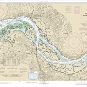
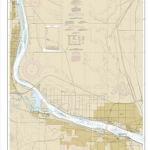
  • Columbia River Sundale to Heppner Junction (chart 18536)

    $21.00
    Select options
  • Columbia River to Destruction Island (chart 18500)

    $21.00
    Select options
  • Columbia River Vancouver to Bonneville; Bonneville Dam (chart 18531)

    $21.00
    Select options
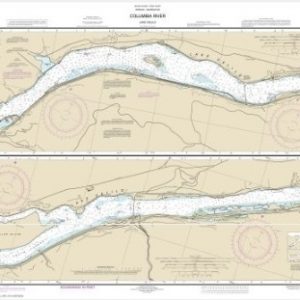
  • Columbia River-McNary Dam to Juniper (chart 18541)

    $21.00
    Select options
  • ←
  • 1
  • 2
  • 3
  • 4
  • 5
  • 6
  • …
  • 16
  • 17
  • 18
  • →

Chartside Map Locators

Looking for a specific nautical chart?

Download these helpful chartside indexes to find the chart you're looking for quickly.

Regions

  • Alaska
  • Atlantic
  • Pacific
  • Great Lakes
  • Gulf

(all chartside files are PDF format and are very large, be patient during download on slow connections)

Contact Us

Feel free to contact us if you have any questions.

  • 8119 Central Ave.
    Capitol Heights, MD 20743
  • HBudd@whmap.com
  • 301-336-1143
  • 800-338-6228
  • 301-336-5520
  • http://whmap.com/

Map Production

We have the staff, software and equipment to handle all aspects of cartography and map production. Our large library of software titles can accommodate the processing and editing of any customer-provided final files.

We are also able to create new maps by utilizing files output from a GIS environment, integrating such data with accompanying text and graphics (photographs, logos, street indexes, tables, etc.) into a clean, publication-quality layout.

Long Term

Williams & Heintz Map Corporation has been printing maps for entrepreneurs, government agencies, and map publishers for over 93 years. We combine the highest quality pre-press, printing, and folding with industry leading knowledge and customer service.

Sustainable

Williams & Heintz understands the importance of building and maintaining a cleaner environment and aims to contribute in as many ways possible throughout our map production and printing cycle.

We are continuously improving elements in our map making and printing process to produce the same high quality custom maps with far less negative impact on the environment.

Versatile

At Williams & Heintz, we can assist you with any aspect of map production and manufacturing, from the simplest 1-color map to the most complicated 12-color map, from 3″ x 5″ to 47 ¼ ” x 63″. Send us your digital files, or films and camera copy.

We welcome your difficult reproduction problems and complex technical maps as well as simpler jobs. All will get the same care and attention to detail that maps require, at a competitive price.

  • facebook
  • twitter
  • google plus
  • Linkedin
  • youtube
© 2022 Williams & Heintz Map Corporation. All Rights Reserved.

Web Design by Solnet