• facebook
  • twitter
  • google plus
  • Linkedin
  • youtube
Orders over $100 ship FREE 800-338-6228
NOAA Charts
$0.00 0
  • Home
  • Shop for nautical charts
  • Customer Login
  • Show Cart

Category: Pacific

  • Home
  • Shop for nautical charts
  • Products
  • Pacific
  • Page 5
Home / Shop for nautical charts / Pacific / Page 5

Pacific

Showing 49–60 of 214 results

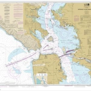
  • Entrance to San Francisco Bay (chart 18649)

    $21.00
    Select options
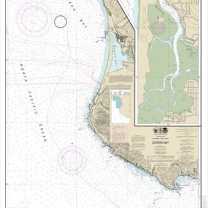
  • Estero Bay;Morro Bay (chart 18703)

    $21.00
    Select options
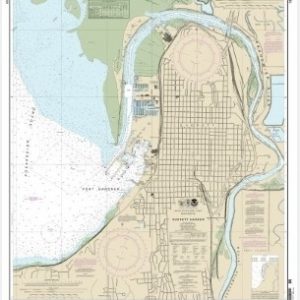
  • Everett Harbor (chart 18444)

    $21.00
    Select options
  • Placeholder

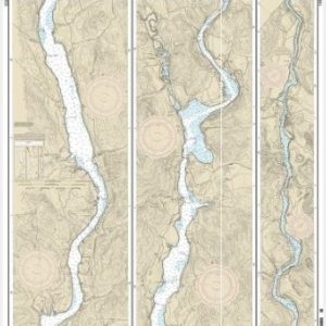
    FOLIO SMALL-CRAFT Bellingham to Everett Including San Juan Islands; Blaine (chart 18423)

    $50.00
    Select options
  • Placeholder

    FOLIO SMALL-CRAFT Puget Sound-Possession Sound to Olympia including Hood Canal (chart 18445)

    $50.00
    Select options
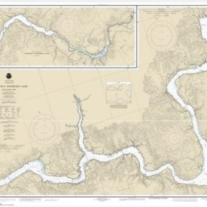
  • FRANKLIN D. ROOSEVELT LAKE Northern part (chart 18553)

    $21.00
    Select options
  • FRANKLIN D. ROOSEVELT LAKE Southern part (chart 18551)

    $21.00
    Select options
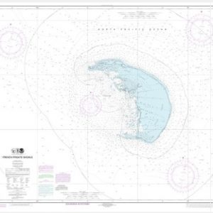
  • French Frigate Shoals (chart 19401)

    $21.00
    Select options
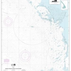
  • French Frigate Shoals Anchorage (chart 19402)

    $21.00
    Select options
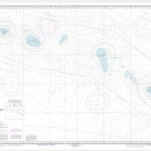
  • French Frigate Shoals to Laysan Island (chart 19019)

    $21.00
    Select options
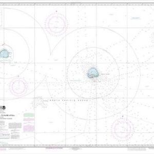
  • Gambia Shoal to Kure Atoll including approaches to the Midway Islands (chart 19480)

    $21.00
    Select options
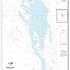
  • Gardner Pinnacles and approaches;Gardner Pinnacles (chart 19421)

    $21.00
    Select options
  • ←
  • 1
  • 2
  • 3
  • 4
  • 5
  • 6
  • 7
  • 8
  • …
  • 16
  • 17
  • 18
  • →

Chartside Map Locators

Looking for a specific nautical chart?

Download these helpful chartside indexes to find the chart you're looking for quickly.

Regions

  • Alaska
  • Atlantic
  • Pacific
  • Great Lakes
  • Gulf

(all chartside files are PDF format and are very large, be patient during download on slow connections)

Contact Us

Feel free to contact us if you have any questions.

  • 8119 Central Ave.
    Capitol Heights, MD 20743
  • HBudd@whmap.com
  • 301-336-1143
  • 800-338-6228
  • 301-336-5520
  • http://whmap.com/

Map Production

We have the staff, software and equipment to handle all aspects of cartography and map production. Our large library of software titles can accommodate the processing and editing of any customer-provided final files.

We are also able to create new maps by utilizing files output from a GIS environment, integrating such data with accompanying text and graphics (photographs, logos, street indexes, tables, etc.) into a clean, publication-quality layout.

Long Term

Williams & Heintz Map Corporation has been printing maps for entrepreneurs, government agencies, and map publishers for over 93 years. We combine the highest quality pre-press, printing, and folding with industry leading knowledge and customer service.

Sustainable

Williams & Heintz understands the importance of building and maintaining a cleaner environment and aims to contribute in as many ways possible throughout our map production and printing cycle.

We are continuously improving elements in our map making and printing process to produce the same high quality custom maps with far less negative impact on the environment.

Versatile

At Williams & Heintz, we can assist you with any aspect of map production and manufacturing, from the simplest 1-color map to the most complicated 12-color map, from 3″ x 5″ to 47 ¼ ” x 63″. Send us your digital files, or films and camera copy.

We welcome your difficult reproduction problems and complex technical maps as well as simpler jobs. All will get the same care and attention to detail that maps require, at a competitive price.

  • facebook
  • twitter
  • google plus
  • Linkedin
  • youtube
© 2022 Williams & Heintz Map Corporation. All Rights Reserved.

Web Design by Solnet