• facebook
  • twitter
  • google plus
  • Linkedin
  • youtube
Orders over $100 ship FREE 800-338-6228
NOAA Charts
$0.00 0
  • Home
  • Shop for nautical charts
  • Customer Login
  • Show Cart

Category: Pacific

  • Home
  • Shop for nautical charts
  • Products
  • Pacific
  • Page 6
Home / Shop for nautical charts / Pacific / Page 6

Pacific

Showing 61–72 of 214 results

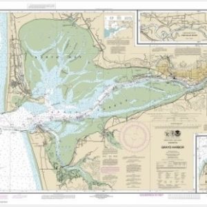
  • Grays Harbor;Westhaven Cove (chart 18502)

    $21.00
    Select options
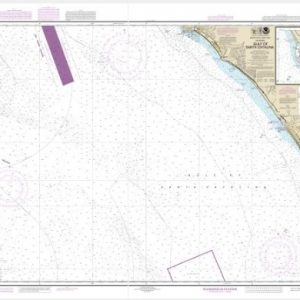
  • Gulf of Santa Catalina;Delmar Boat Basin-Camp Pendleton (chart 18774)

    $21.00
    Select options
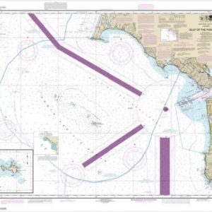
  • Gulf of the Farallones;Southeast Farallon (chart 18645)

    $21.00
    Select options
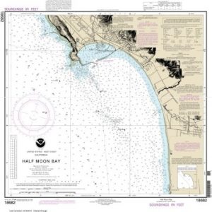
  • Half Moon Bay (chart 18682)

    $21.00
    Select options
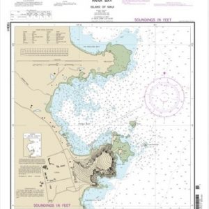
  • Hana Bay Island of Maui (chart 19341)

    $21.00
    Select options
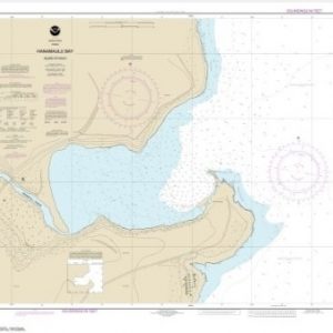
  • Hanamaulu Bay Island of Kaua’i (chart 19384)

    $21.00
    Select options
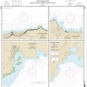
  • Harbors and Landings on the Northeast and Southeast Coasts of Hawai’i;Punalu’u Harbor;Honu’apo Bay;Honokaa Landing;Kukuihaele Landing (chart 19322)

    $21.00
    Select options
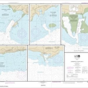
  • Harbors of Moloka’i Kaunakakai Harbor;Pukoo Harbor;Kamalo Harbor;Kolo Harbor;Lono Harbor (chart 19353)

    $21.00
    Select options
  • Haro-Strait-Middle Bank to Stuart Island (chart 18433)

    $21.00
    Select options
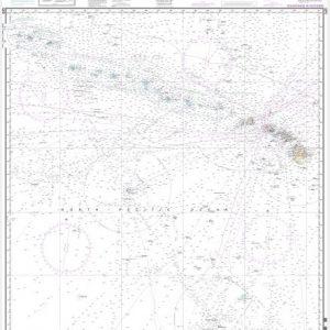
  • Hawai’ ian Islands (chart 540)

    $21.00
    Select options
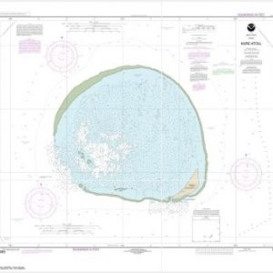
  • Hawai’i Kure Atoll (chart 19483)

    $21.00
    Select options
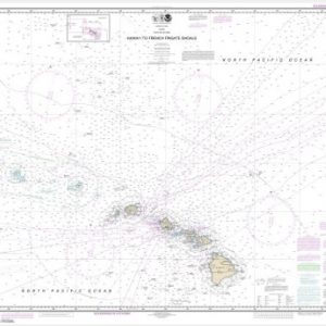
  • Hawai’i to French Frigate Shoals (chart 19007)

    $21.00
    Select options
  • ←
  • 1
  • 2
  • 3
  • 4
  • 5
  • 6
  • 7
  • 8
  • 9
  • …
  • 16
  • 17
  • 18
  • →

Chartside Map Locators

Looking for a specific nautical chart?

Download these helpful chartside indexes to find the chart you're looking for quickly.

Regions

  • Alaska
  • Atlantic
  • Pacific
  • Great Lakes
  • Gulf

(all chartside files are PDF format and are very large, be patient during download on slow connections)

Contact Us

Feel free to contact us if you have any questions.

  • 8119 Central Ave.
    Capitol Heights, MD 20743
  • HBudd@whmap.com
  • 301-336-1143
  • 800-338-6228
  • 301-336-5520
  • http://whmap.com/

Map Production

We have the staff, software and equipment to handle all aspects of cartography and map production. Our large library of software titles can accommodate the processing and editing of any customer-provided final files.

We are also able to create new maps by utilizing files output from a GIS environment, integrating such data with accompanying text and graphics (photographs, logos, street indexes, tables, etc.) into a clean, publication-quality layout.

Long Term

Williams & Heintz Map Corporation has been printing maps for entrepreneurs, government agencies, and map publishers for over 93 years. We combine the highest quality pre-press, printing, and folding with industry leading knowledge and customer service.

Sustainable

Williams & Heintz understands the importance of building and maintaining a cleaner environment and aims to contribute in as many ways possible throughout our map production and printing cycle.

We are continuously improving elements in our map making and printing process to produce the same high quality custom maps with far less negative impact on the environment.

Versatile

At Williams & Heintz, we can assist you with any aspect of map production and manufacturing, from the simplest 1-color map to the most complicated 12-color map, from 3″ x 5″ to 47 ¼ ” x 63″. Send us your digital files, or films and camera copy.

We welcome your difficult reproduction problems and complex technical maps as well as simpler jobs. All will get the same care and attention to detail that maps require, at a competitive price.

  • facebook
  • twitter
  • google plus
  • Linkedin
  • youtube
© 2022 Williams & Heintz Map Corporation. All Rights Reserved.

Web Design by Solnet