• facebook
  • twitter
  • google plus
  • Linkedin
  • youtube
Orders over $100 ship FREE 800-338-6228
NOAA Charts
$0.00 0
  • Home
  • Shop for nautical charts
  • Customer Login
  • Show Cart

Category: Pacific

  • Home
  • Shop for nautical charts
  • Products
  • Pacific
  • Page 7
Home / Shop for nautical charts / Pacific / Page 7

Pacific

Showing 73–84 of 214 results

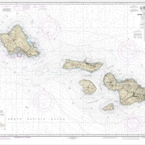
  • Hawai’i to O’ahu (chart 19340)

    $21.00
    Select options
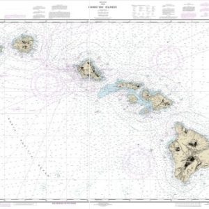
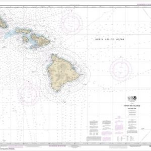
  • Hawai’ian Islands (chart 19004)

    $21.00
    Select options
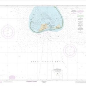
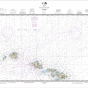
  • Hawai’ian Islands Midway Islands (chart 19481)

    $21.00
    Select options
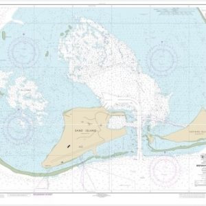
  • Hawai’ian Islands Midway Islands (chart 19482)

    $21.00
    Select options
  • Hawai’ian Islands northern part (chart 19013)

    $21.00
    Select options
  • Hawai’ian Islands southern part (chart 19010)

    $21.00
    Select options
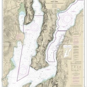
  • Hood Canal-South Point to Quatsap Point including Dabob Bay (chart 18458)

    $21.00
    Select options
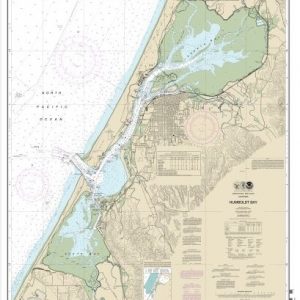
  • Humboldt Bay (chart 18622)

    $21.00
    Select options
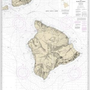
  • Island Of Hawai’i (chart 19320)

    $21.00
    Select options
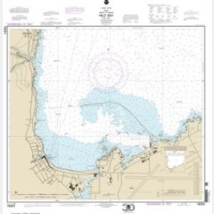
  • Island Of Hawai’i Hilo Bay (chart 19324)

    $21.00
    Select options
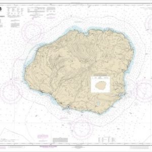
  • Island of Kaua’i (chart 19381)

    $21.00
    Select options
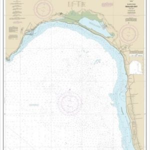
  • Island of Maui Ma’alaea Bay (chart 19350)

    $21.00
    Select options
  • ←
  • 1
  • 2
  • 3
  • 4
  • 5
  • 6
  • 7
  • 8
  • 9
  • 10
  • …
  • 16
  • 17
  • 18
  • →

Chartside Map Locators

Looking for a specific nautical chart?

Download these helpful chartside indexes to find the chart you're looking for quickly.

Regions

  • Alaska
  • Atlantic
  • Pacific
  • Great Lakes
  • Gulf

(all chartside files are PDF format and are very large, be patient during download on slow connections)

Contact Us

Feel free to contact us if you have any questions.

  • 8119 Central Ave.
    Capitol Heights, MD 20743
  • HBudd@whmap.com
  • 301-336-1143
  • 800-338-6228
  • 301-336-5520
  • http://whmap.com/

Map Production

We have the staff, software and equipment to handle all aspects of cartography and map production. Our large library of software titles can accommodate the processing and editing of any customer-provided final files.

We are also able to create new maps by utilizing files output from a GIS environment, integrating such data with accompanying text and graphics (photographs, logos, street indexes, tables, etc.) into a clean, publication-quality layout.

Long Term

Williams & Heintz Map Corporation has been printing maps for entrepreneurs, government agencies, and map publishers for over 93 years. We combine the highest quality pre-press, printing, and folding with industry leading knowledge and customer service.

Sustainable

Williams & Heintz understands the importance of building and maintaining a cleaner environment and aims to contribute in as many ways possible throughout our map production and printing cycle.

We are continuously improving elements in our map making and printing process to produce the same high quality custom maps with far less negative impact on the environment.

Versatile

At Williams & Heintz, we can assist you with any aspect of map production and manufacturing, from the simplest 1-color map to the most complicated 12-color map, from 3″ x 5″ to 47 ¼ ” x 63″. Send us your digital files, or films and camera copy.

We welcome your difficult reproduction problems and complex technical maps as well as simpler jobs. All will get the same care and attention to detail that maps require, at a competitive price.

  • facebook
  • twitter
  • google plus
  • Linkedin
  • youtube
© 2022 Williams & Heintz Map Corporation. All Rights Reserved.

Web Design by Solnet