• facebook
  • twitter
  • google plus
  • Linkedin
  • youtube
Orders over $100 ship FREE 800-338-6228
NOAA Charts
$0.00 0
  • Home
  • Shop for nautical charts
  • Customer Login
  • Show Cart

Category: Pacific

  • Home
  • Shop for nautical charts
  • Products
  • Pacific
  • Page 8
Home / Shop for nautical charts / Pacific / Page 8

Pacific

Showing 85–96 of 214 results

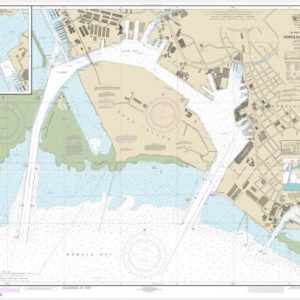
  • Island of O’ahu Honolulu Harbor (chart 19367)

    $21.00
    Select options
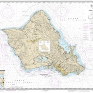
  • Island of O’ahu;Barbers Point Harbor (chart 19357)

    $21.00
    Select options
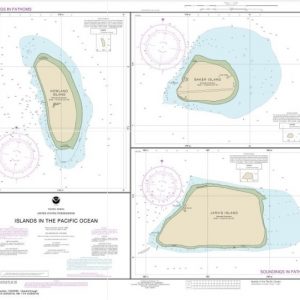
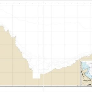
  • Islands in the Pacific Ocean-Jarvis, Bake and Howland Islands (chart 83116)

    $21.00
    Select options
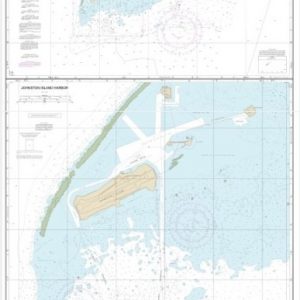
  • Johnston Atoll;Johnston Island Harbor (chart 83637)

    $21.00
    Select options
  • Kahului Harbor and approaches;Kahului Harbor (chart 19342)

    $21.00
    Select options
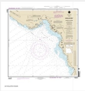
  • Kailua Bay Island Of Hawai’i (chart 19331)

    $21.00
    Select options
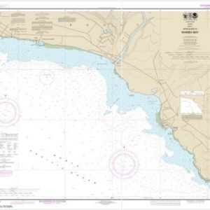
  • Kaua’i Approaches to Waimea Bay (chart 19386)

    $21.00
    Select options
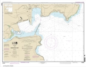
  • Kaua’i Nawiliwili Bay (chart 19383)

    $21.00
    Select options
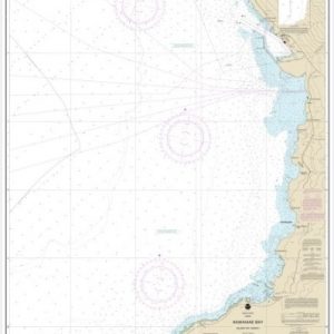
  • Kawaihae Bay-Island of Hawaii (chart 19330)

    $21.00
    Select options
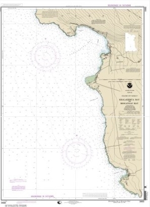
  • Kealakekua Bay to Honaunau Bay (chart 19332)

    $21.00
    Select options
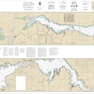
  • Lake Mead (chart 18687)

    $21.00
    Select options
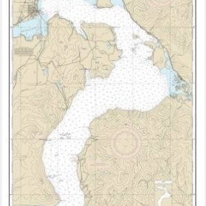
  • Lake Pend Oreille (chart 18554)

    $21.00
    Select options
  • ←
  • 1
  • 2
  • 3
  • …
  • 5
  • 6
  • 7
  • 8
  • 9
  • 10
  • 11
  • …
  • 16
  • 17
  • 18
  • →

Chartside Map Locators

Looking for a specific nautical chart?

Download these helpful chartside indexes to find the chart you're looking for quickly.

Regions

  • Alaska
  • Atlantic
  • Pacific
  • Great Lakes
  • Gulf

(all chartside files are PDF format and are very large, be patient during download on slow connections)

Contact Us

Feel free to contact us if you have any questions.

  • 8119 Central Ave.
    Capitol Heights, MD 20743
  • HBudd@whmap.com
  • 301-336-1143
  • 800-338-6228
  • 301-336-5520
  • http://whmap.com/

Map Production

We have the staff, software and equipment to handle all aspects of cartography and map production. Our large library of software titles can accommodate the processing and editing of any customer-provided final files.

We are also able to create new maps by utilizing files output from a GIS environment, integrating such data with accompanying text and graphics (photographs, logos, street indexes, tables, etc.) into a clean, publication-quality layout.

Long Term

Williams & Heintz Map Corporation has been printing maps for entrepreneurs, government agencies, and map publishers for over 93 years. We combine the highest quality pre-press, printing, and folding with industry leading knowledge and customer service.

Sustainable

Williams & Heintz understands the importance of building and maintaining a cleaner environment and aims to contribute in as many ways possible throughout our map production and printing cycle.

We are continuously improving elements in our map making and printing process to produce the same high quality custom maps with far less negative impact on the environment.

Versatile

At Williams & Heintz, we can assist you with any aspect of map production and manufacturing, from the simplest 1-color map to the most complicated 12-color map, from 3″ x 5″ to 47 ¼ ” x 63″. Send us your digital files, or films and camera copy.

We welcome your difficult reproduction problems and complex technical maps as well as simpler jobs. All will get the same care and attention to detail that maps require, at a competitive price.

  • facebook
  • twitter
  • google plus
  • Linkedin
  • youtube
© 2022 Williams & Heintz Map Corporation. All Rights Reserved.

Web Design by Solnet