
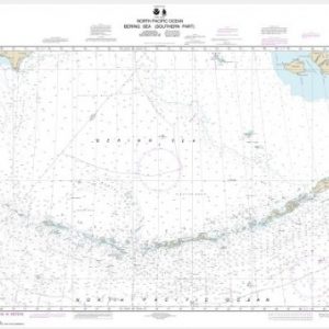
Bering Sea-eastern part;St. Matthew Island, Bering Sea;Cape Etolin, Anchorage, Nunivak Island (chart 16006)
$21.00
Nautical chart scale: 1: 1,534,076
Additional information
| Weight | 32 oz |
|---|---|
| Dimensions | 42 × 4 × 4 in |
$21.00
Nautical chart scale: 1: 1,534,076
| Weight | 32 oz |
|---|---|
| Dimensions | 42 × 4 × 4 in |
Reviews
There are no reviews yet.