
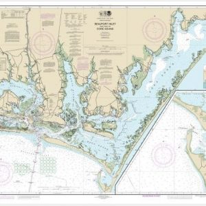
Cape Elizabeth to Portsmouth; Cape Porpoise Harbor; Wells Harbor; Kennebunk River; Perkins Cove (chart 13286)
$21.00
Nautical chart scale: 1: 80,000
Additional information
| Weight | 32 oz |
|---|---|
| Dimensions | 42 × 4 × 4 in |
$21.00
Nautical chart scale: 1: 80,000
| Weight | 32 oz |
|---|---|
| Dimensions | 42 × 4 × 4 in |

Reviews
There are no reviews yet.