
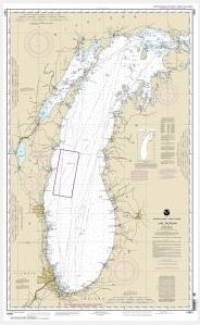
Saginaw Bay;Port Austin Harbor;Caseville Harbor;Entrance to Au Sable River;Sebewaing Harbor;Tawas Harbor (chart 14863)
$21.00
Nautical chart scale: 1: 120,000
Additional information
| Weight | 32 oz |
|---|---|
| Dimensions | 42 × 4 × 4 in |
$21.00
Nautical chart scale: 1: 120,000
| Weight | 32 oz |
|---|---|
| Dimensions | 42 × 4 × 4 in |

Reviews
There are no reviews yet.