• facebook
  • twitter
  • google plus
  • Linkedin
  • youtube
Orders over $100 ship FREE 800-338-6228
NOAA Charts
$0.00 0
  • Home
  • Shop for nautical charts
  • Customer Login
  • Show Cart

Category: Great Lakes

  • Home
  • Shop for nautical charts
  • Products
  • Great Lakes
  • Page 9
Home / Shop for nautical charts / Great Lakes / Page 9

Great Lakes

Showing 97–108 of 135 results

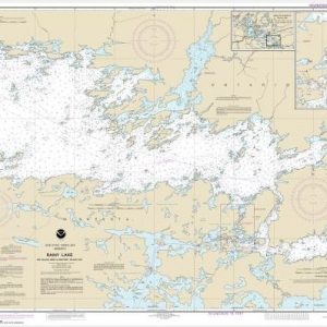
  • Rainy Lake-Big Island, Minn., to Oakpoint Island, Ont.;Kettle Falls (chart 14996)

    $21.00
    Select options
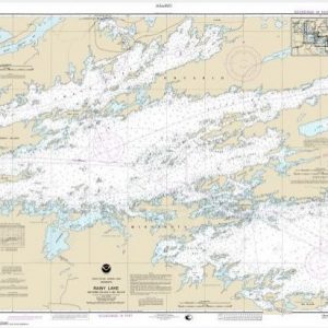
  • Rainy Lake-Dryweed Island, to Big Island (chart 14997)

    $21.00
    Select options
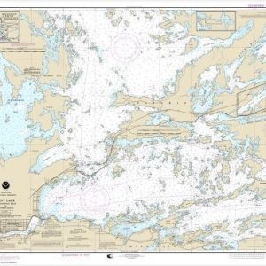
  • Rainy Lake-International Falls to Dryweed Island (chart 14998)

    $21.00
    Select options
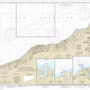
  • Redridge to Saxon Harbor;Ontonagon harbor;Black River Harbor;Saxon Harbor (chart 14965)

    $21.00
    Select options
  • Riviere Richelieu to South Hero Island (chart 14781)

    $21.00
    Select options
  • Rochester Harbor, including Genessee River to head of navigation (chart 14815)

    $21.00
    Select options
  • Round I., N.Y., and Gananoque, Ont., to Wolfe I., Ont. (chart 14774)

    $21.00
    Select options
  • Saganaga Lake (chart 14985)

    $21.00
    Select options
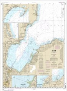
  • Saginaw Bay;Port Austin Harbor;Caseville Harbor;Entrance to Au Sable River;Sebewaing Harbor;Tawas Harbor (chart 14863)

    $21.00
    Select options
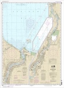
  • Saginaw River (chart 14867)

    $21.00
    Select options
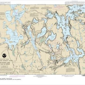
  • Sand Point Lake to Lac la Croix, including Crane Lake and Little Vermilon Lake (chart 14992)

    $21.00
    Select options
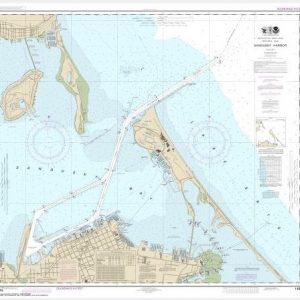
  • Sandusky Harbor (chart 14845)

    $21.00
    Select options
  • ←
  • 1
  • 2
  • 3
  • …
  • 6
  • 7
  • 8
  • 9
  • 10
  • 11
  • 12
  • →

Chartside Map Locators

Looking for a specific nautical chart?

Download these helpful chartside indexes to find the chart you're looking for quickly.

Regions

  • Alaska
  • Atlantic
  • Pacific
  • Great Lakes
  • Gulf

(all chartside files are PDF format and are very large, be patient during download on slow connections)

Contact Us

Feel free to contact us if you have any questions.

  • 8119 Central Ave.
    Capitol Heights, MD 20743
  • HBudd@whmap.com
  • 301-336-1143
  • 800-338-6228
  • 301-336-5520
  • http://whmap.com/

Map Production

We have the staff, software and equipment to handle all aspects of cartography and map production. Our large library of software titles can accommodate the processing and editing of any customer-provided final files.

We are also able to create new maps by utilizing files output from a GIS environment, integrating such data with accompanying text and graphics (photographs, logos, street indexes, tables, etc.) into a clean, publication-quality layout.

Long Term

Williams & Heintz Map Corporation has been printing maps for entrepreneurs, government agencies, and map publishers for over 93 years. We combine the highest quality pre-press, printing, and folding with industry leading knowledge and customer service.

Sustainable

Williams & Heintz understands the importance of building and maintaining a cleaner environment and aims to contribute in as many ways possible throughout our map production and printing cycle.

We are continuously improving elements in our map making and printing process to produce the same high quality custom maps with far less negative impact on the environment.

Versatile

At Williams & Heintz, we can assist you with any aspect of map production and manufacturing, from the simplest 1-color map to the most complicated 12-color map, from 3″ x 5″ to 47 ¼ ” x 63″. Send us your digital files, or films and camera copy.

We welcome your difficult reproduction problems and complex technical maps as well as simpler jobs. All will get the same care and attention to detail that maps require, at a competitive price.

  • facebook
  • twitter
  • google plus
  • Linkedin
  • youtube
© 2022 Williams & Heintz Map Corporation. All Rights Reserved.

Web Design by Solnet